Central Council of Mayors Transportation Resilience Plan
Share Central Council of Mayors Transportation Resilience Plan on Facebook
Share Central Council of Mayors Transportation Resilience Plan on X (formerly Twitter)
Share Central Council of Mayors Transportation Resilience Plan on Linkedin
Email Central Council of Mayors Transportation Resilience Plan link
Consultation has concluded

UPDATE: The Transportation Resilience Plan was adopted by the Central Council of Mayors on December 14, 2022. The final plan is available for download and also listed under Documents. Please reach out if you are interested in learning more about the plan and implementation efforts.
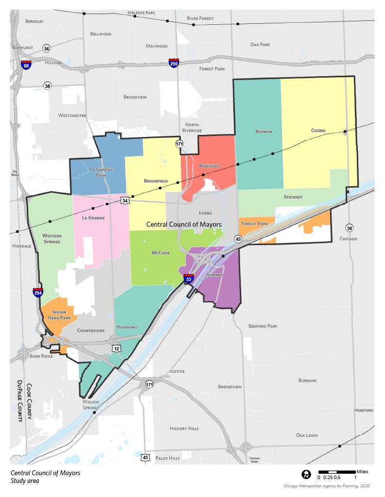
With support from CMAP’s Local Technical Assistance (LTA) program, the Central Council of Mayors is developing a Transportation Resilience Plan. The goal of the plan is to reduce the flood risk of the transportation system in the Central Council of Mayors region. The planning process will include:
- Assessing the vulnerability of the transportation system to heavy rainfall and flooding;
- Identifying where flooding and stormwater issues coincide with planned transportation improvements;
- Outlining capital project types, policy solutions, and areas requiring further study; and
- Informing stormwater and transportation investment decisions made by Central Council communities as well as other stormwater and transportation agencies.


Study Area Map
Who's Listening
-
Phone 312-386-8782 Email kevasic@cmap.illinois.gov -

Phone 847-652-6364 Email mfricano@westcook.org