Share Franklin Park Grand Avenue Corridor Plan on FacebookShare Franklin Park Grand Avenue Corridor Plan on X (formerly Twitter)Share Franklin Park Grand Avenue Corridor Plan on LinkedinEmail Franklin Park Grand Avenue Corridor Plan link
Final Corridor Plan
Thank you to everyone who participated in the corridor planning process! Your feedback and ideas helped craft the plan recommendations. The Grand Avenue Corridor Plan was adopted by the Village of Franklin Park Board of Trustees on March 3, 2025. Para Español, haga clic aquí. Po ankietę po polsku kliknij tutaj.
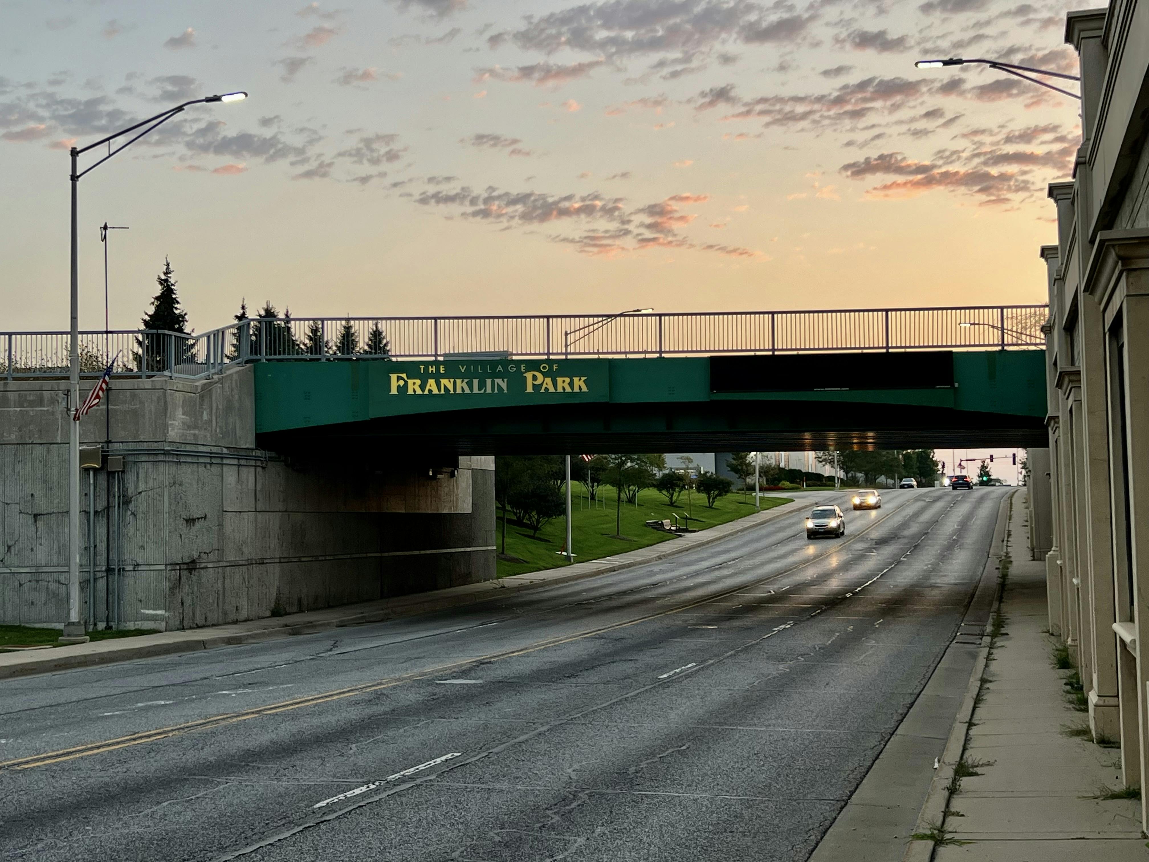
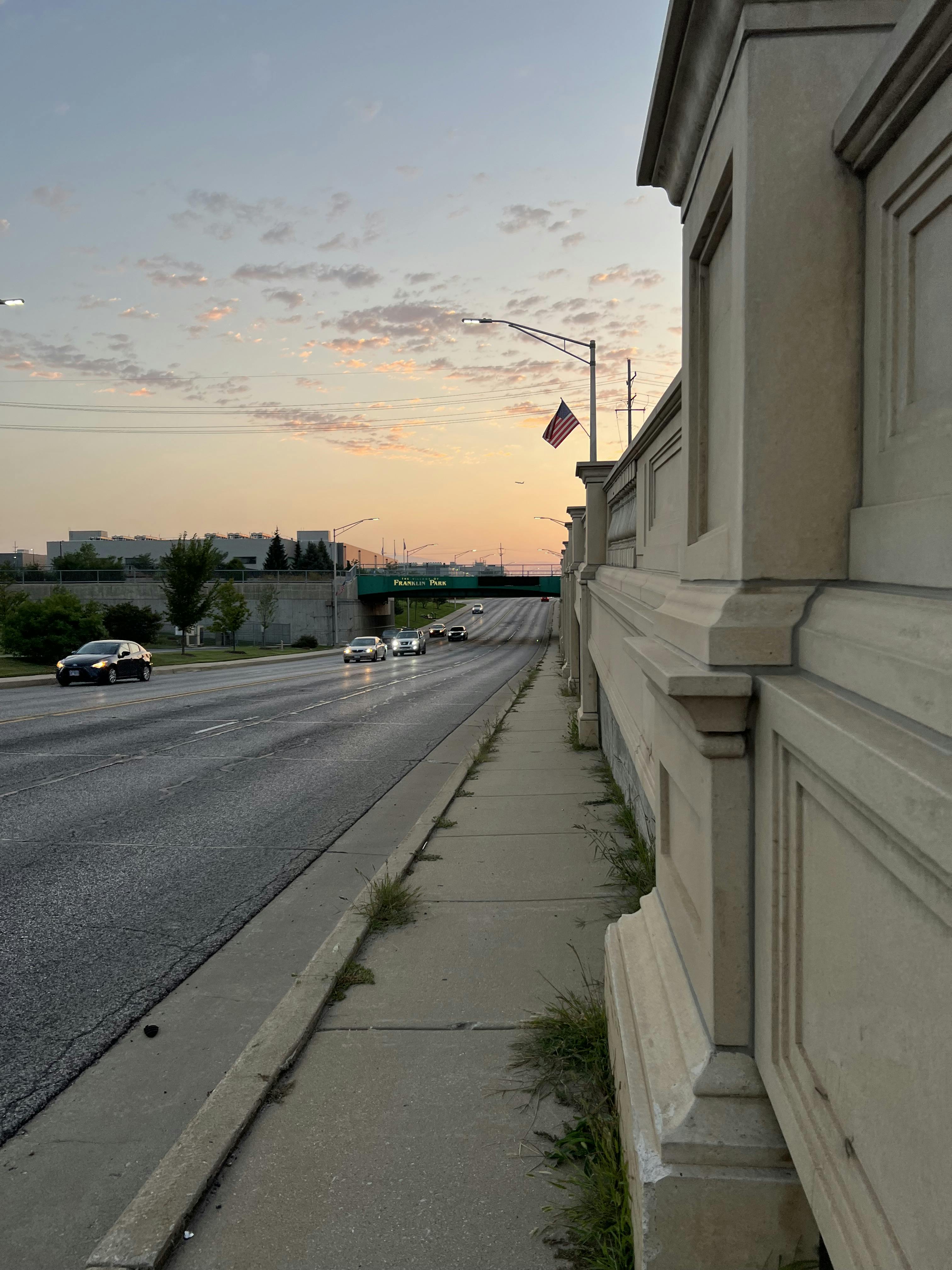
The Chicago Metropolitan Agency for Planning (CMAP) is partnering with the Village of Franklin Park to create a plan to transform Grand Avenue into a safe, accessible, and thriving corridor. The plan will help residents and elected and appointed officials guide future actions, decisions and development in the community.
The Franklin Park Grand Avenue Corridor Plan will focus on:
Enhancing transportation safety and make Grand Avenue safer for pedestrians, bicyclists, and vehicles alike.
Making Grand Avenue pedestrian-friendly through streetscaping and intersection improvements to create a more walkable and enjoyable experience for all.
Promoting access to public transit along the Grand Avenue corridor by making it more convenient and seamless to reach bus stops.
Making Grand Avenue equally accessible by walking, biking and bus and private transport.
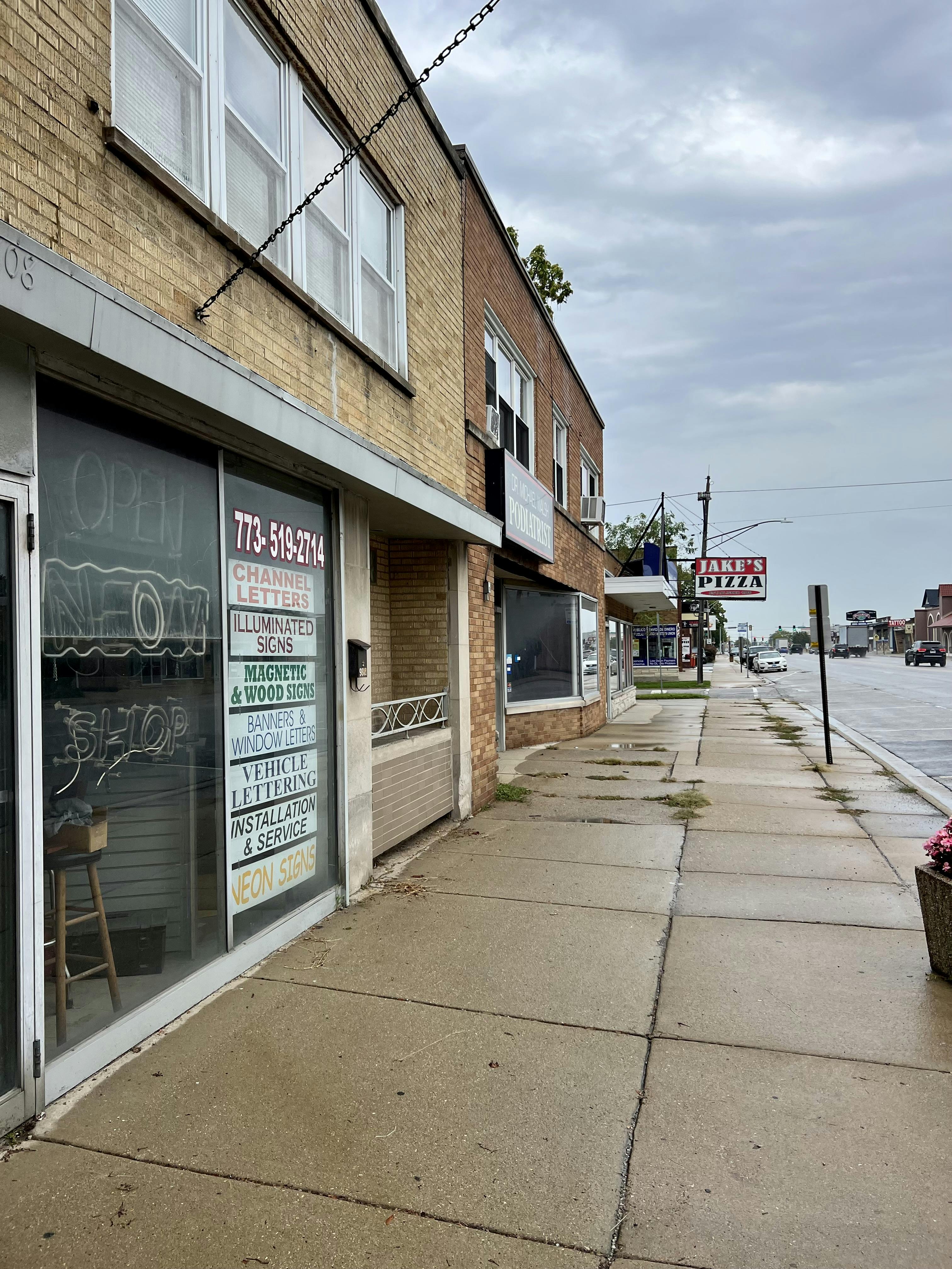
Identifying economic development opportunities and strategies to support small businesses and utilize vacant properties.
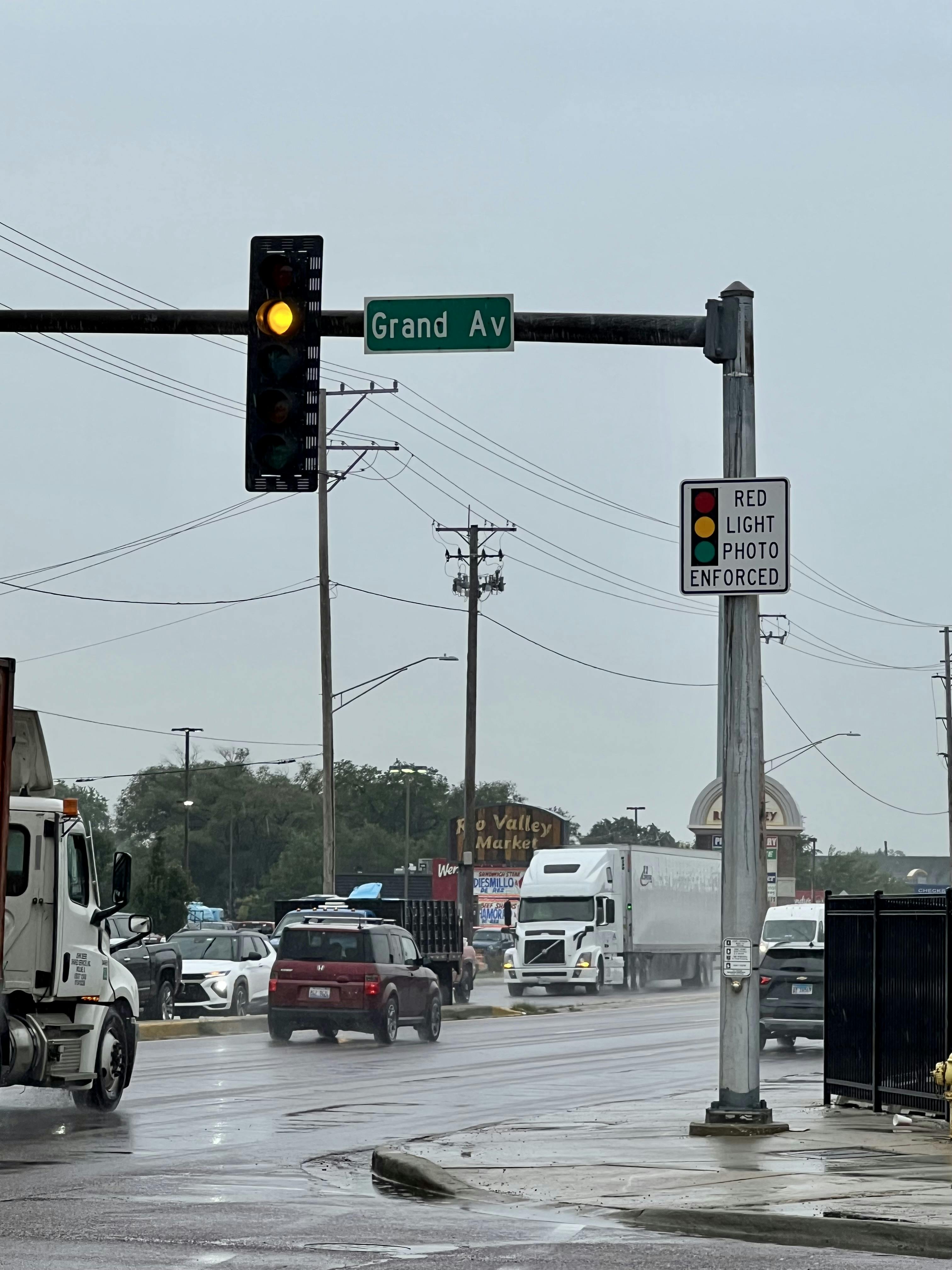
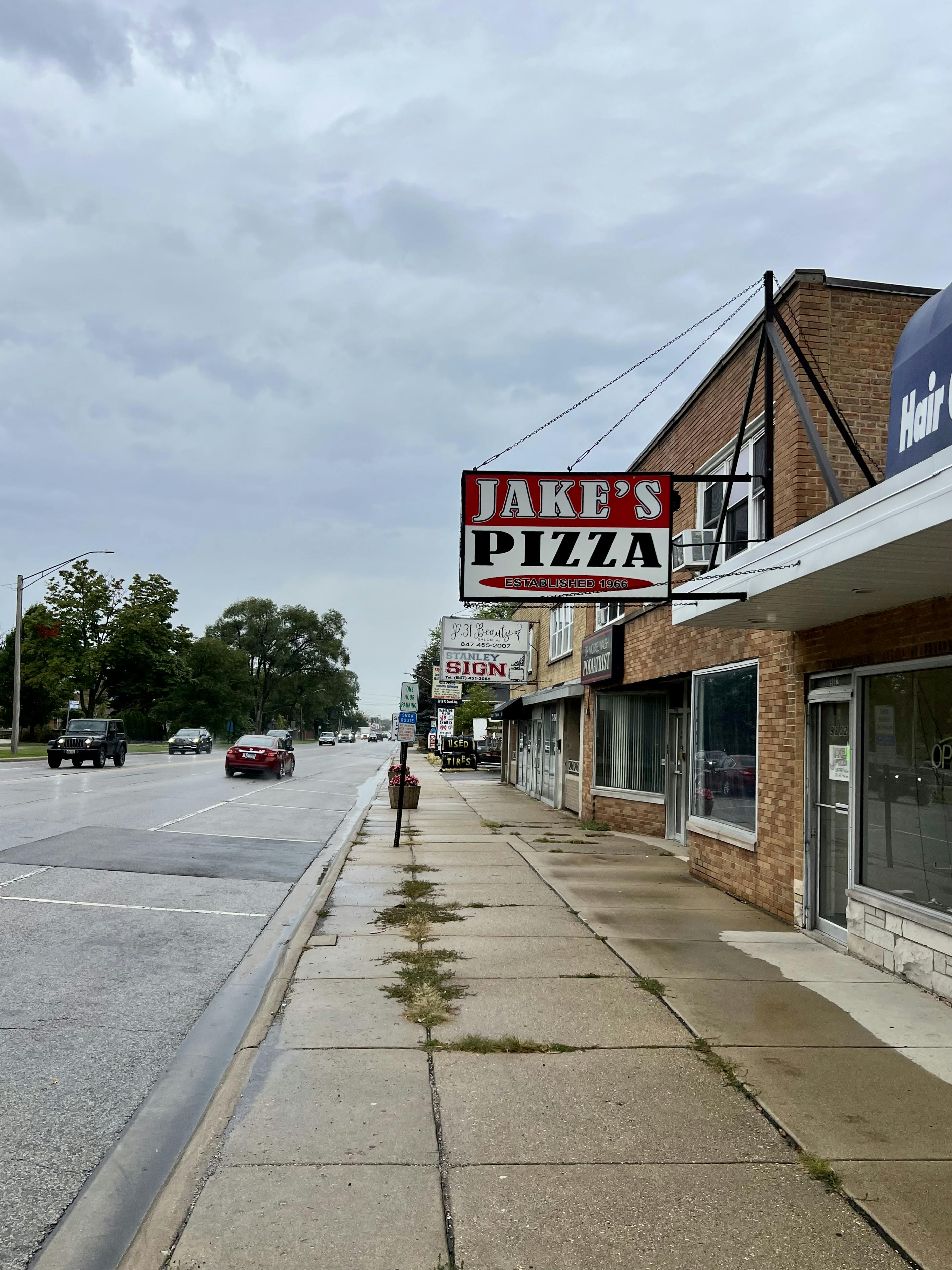
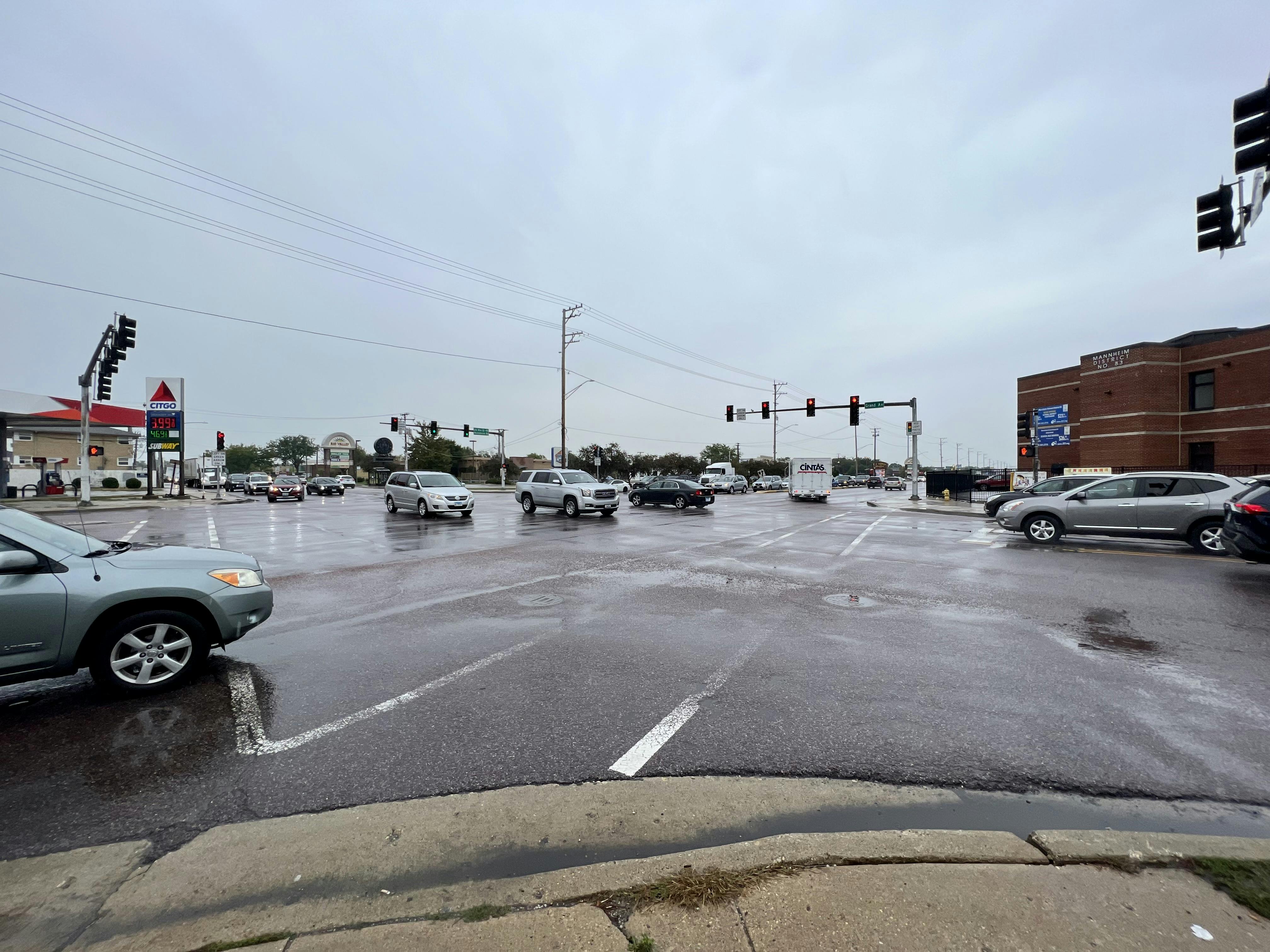
The study area focuses on Grand Avenue from Mannheim Road to Elm Street within Franklin Park.
Thank you to everyone who participated in the corridor planning process! Your feedback and ideas helped craft the plan recommendations. The Grand Avenue Corridor Plan was adopted by the Village of Franklin Park Board of Trustees on March 3, 2025. Para Español, haga clic aquí. Po ankietę po polsku kliknij tutaj.
The Chicago Metropolitan Agency for Planning (CMAP) is partnering with the Village of Franklin Park to create a plan to transform Grand Avenue into a safe, accessible, and thriving corridor. The plan will help residents and elected and appointed officials guide future actions, decisions and development in the community.
The Franklin Park Grand Avenue Corridor Plan will focus on:
Enhancing transportation safety and make Grand Avenue safer for pedestrians, bicyclists, and vehicles alike.
Making Grand Avenue pedestrian-friendly through streetscaping and intersection improvements to create a more walkable and enjoyable experience for all.
Promoting access to public transit along the Grand Avenue corridor by making it more convenient and seamless to reach bus stops.
Making Grand Avenue equally accessible by walking, biking and bus and private transport.
Identifying economic development opportunities and strategies to support small businesses and utilize vacant properties.
The study area focuses on Grand Avenue from Mannheim Road to Elm Street within Franklin Park.
The project team is happy to present to local community organizations about the Franklin Park Grand Avenue Corridor Plan. Please contact Lily Brack at lbrack@cmap.illinois.gov if you'd like to schedule a presentation.