Share Logan Square Blue Line ETOD Action Plan on FacebookShare Logan Square Blue Line ETOD Action Plan on X (formerly Twitter)Share Logan Square Blue Line ETOD Action Plan on LinkedinEmail Logan Square Blue Line ETOD Action Plan link
Consultation has concluded
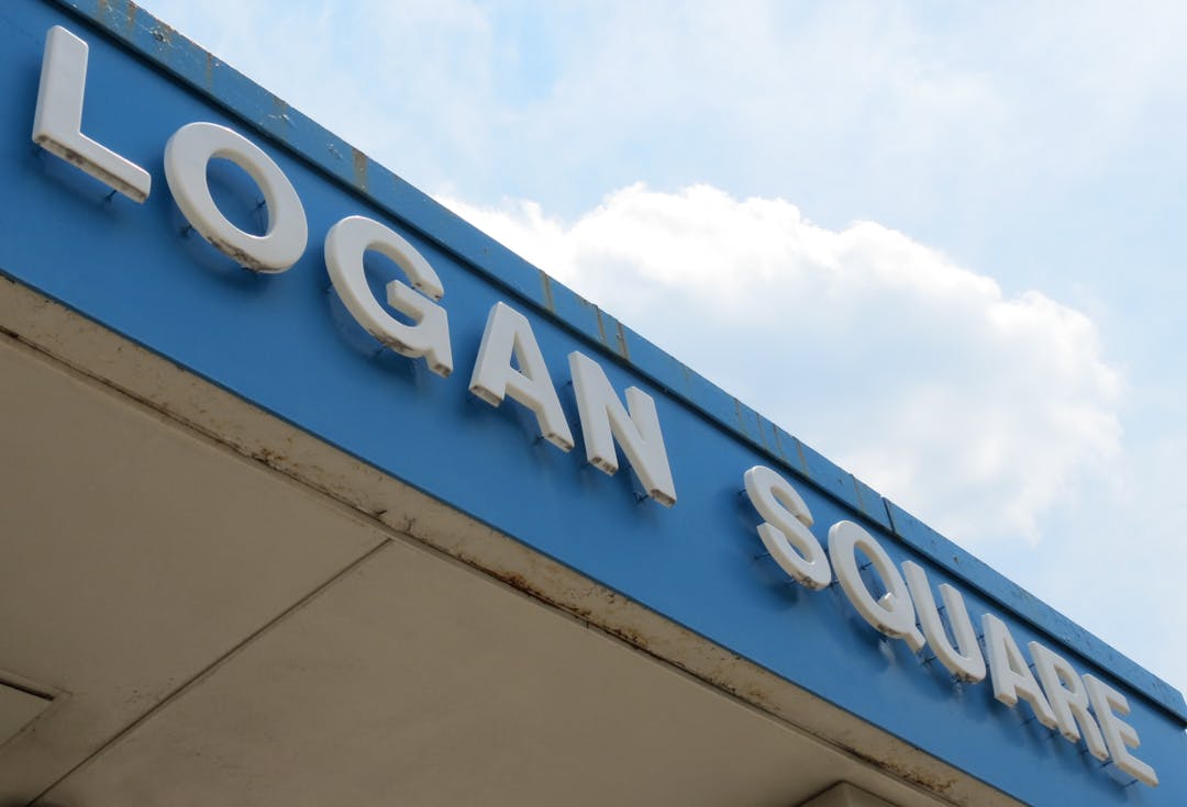
In conjunction with Elevated Chicago, Palenque LSNA is collaborating with the Chicago Metropolitan Agency for Planning (CMAP) and the RTA to develop a station area plan around the CTA Blue Line Logan Square station. The plan will be guided by principles of equitable transit-oriented development (ETOD) as a means of developing collaborative, community-led solutions to address neighborhood displacement and inequities, particularly incorporating CMAP’s regional ON TO 2050 Principles of resiliency, inclusive growth, and prioritized investment. Strategies will align with and complement current projects and initiatives being undertaken by Palenque LSNA, Logan Square Preservation, CDOT, and otherContinue reading
In conjunction with Elevated Chicago, Palenque LSNA is collaborating with the Chicago Metropolitan Agency for Planning (CMAP) and the RTA to develop a station area plan around the CTA Blue Line Logan Square station. The plan will be guided by principles of equitable transit-oriented development (ETOD) as a means of developing collaborative, community-led solutions to address neighborhood displacement and inequities, particularly incorporating CMAP’s regional ON TO 2050 Principles of resiliency, inclusive growth, and prioritized investment. Strategies will align with and complement current projects and initiatives being undertaken by Palenque LSNA, Logan Square Preservation, CDOT, and other community partners
The Logan Square community will be engaged at various points throughout the planning process to ensure the ideas, needs, and concerns of residents, business owners, and local stakeholders are integrated into strategies for the station area.
Please use this site to learn more about the project and opportunities to engage.