Waukegan Unified Development Ordinance
The Unified Development Ordinance has been approved and this project has been completed.

Project Overview
As part of the Chicago Metropolitan Agency for Planning's (CMAP) Local Technical Assistance (LTA) Program, the City of Waukegan began the process of updating and modernizing their Zoning, Subdivision, Sign, and Landscape and Tree Preservation Ordinances to create a Unified Development Ordinance (UDO). Originally approved in 1987, the zoning ordinance has since had numerous amendments, and would benefit from a comprehensive review and overhaul.
The City of Waukegan, CMAP, and local stakeholders will embark on a community-based process that will align Waukegan's development regulations, land-use practices, and community vision with its 2020 Comprehensive Land Use Plan. The UDO will help direct Waukegan's future growth and build its economic strength.
Key Topics
- Zoning district updates
- Allowable uses
- Subdivision standards
- Zoning applications
- Special uses, variations, and amendments
- Parking and lighting
- Landscaping
- Signage
Community Background

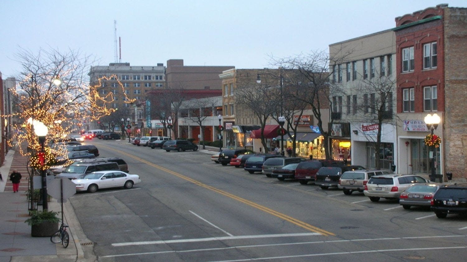
The City of Waukegan is the most populous city in- and the county seat of- Lake County, Illinois. The City is located within the Chicago metropolitan area along Lake Michigan, situated 40 miles north of the City of Chicago. As of the 2020 census, the population of the City was 89,321. Waukegan offers commuter rail service to Chicago and PACE Bus service. Waukegan features a growing lakefront and downtown area with an active marina, and diverse neighborhoods. The City utilizes several planning documents to guide land use decision-making:
- 2020 Comprehensive Land Use Plan
- Northern Lakeshore Trail Connectivity Plan
- Lakefront Active Implementation Plan
- Washington Street Commercial Corridor Plan
- River Road Corridor Plan
- South Sheridan Revitalization Plan
- Lakefront Downtown Master Plan
Community Feedback
We want to hear from you! Public input is crucial and encouraged to develop an ordinance that fits the needs of the community. There are many ways to participate and engage in the planning process, starting on this page:
- Follow the Plan Updates Tab
- Complete the Community Survey
- Connect with the Project Contacts
- Attend Future Community Meetings


Who's Listening
-

Phone 312-386-8640 Email ssthomas@cmap.illinois.gov -

Phone (312) 386-8706 Email jjackson@cmap.illinois.gov
Videos
-
 In this video, learn more about Unified Development Ordinances, zoning and subdivision regulations, and how these tools affect you and your community.