

Lemont Downtown Study
Share Lemont Downtown Study on Facebook
Share Lemont Downtown Study on X (formerly Twitter)
Share Lemont Downtown Study on Linkedin
Email Lemont Downtown Study link
Consultation has concluded

Welcome to the project website for the Lemont Downtown Parking and Civic Space Study!
The planning process has concluded and now we are moving on to implementation. A copy of the final study can be found at this link.

Project Background
The Village of Lemont is working with the Chicago Metropolitan Agency for Planning (CMAP) to develop a study that will evaluate the utilization of civic spaces, parking locations, and designations within Downtown Lemont. Established in 1836 and recognized as one of the oldest communities in northeastern Illinois, Downtown Lemont is characterized by limestone clad buildings and wasContinue reading


Project Documents
-
 Final Plan Report (53.4 MB) (pdf)
-
Existing Conditions Report (3.18 MB) (pdf)
-
Recording of Public Meeting 2/9/2022
-
Public Meeting Presentation 2/9/2022 (11.8 MB) (pdf)
-
Lemont Bridge Design Development (14 MB) (13.9 MB) (pdf)
-
Lemont OSLAD Park Plan (3 MB) (2.69 MB) (pdf)
-
Sunset Soiree Community Event Summary (2.54 MB) (pdf)

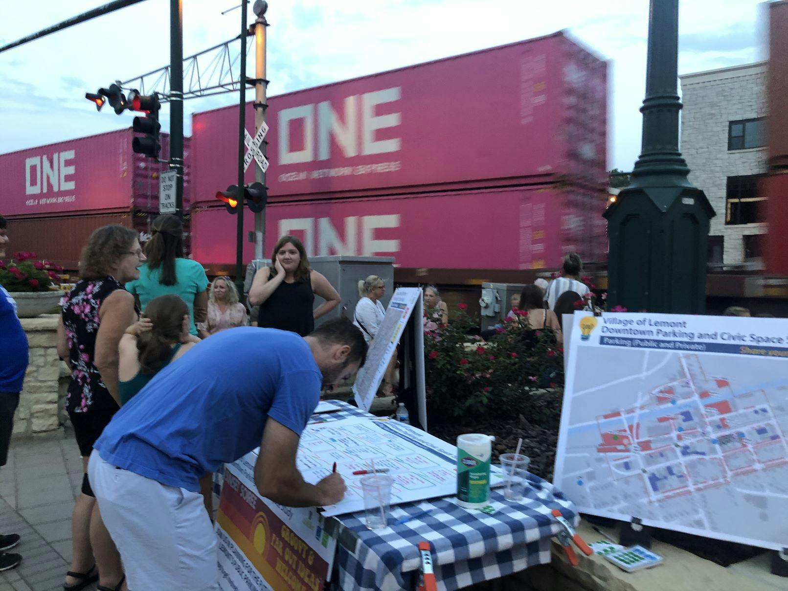
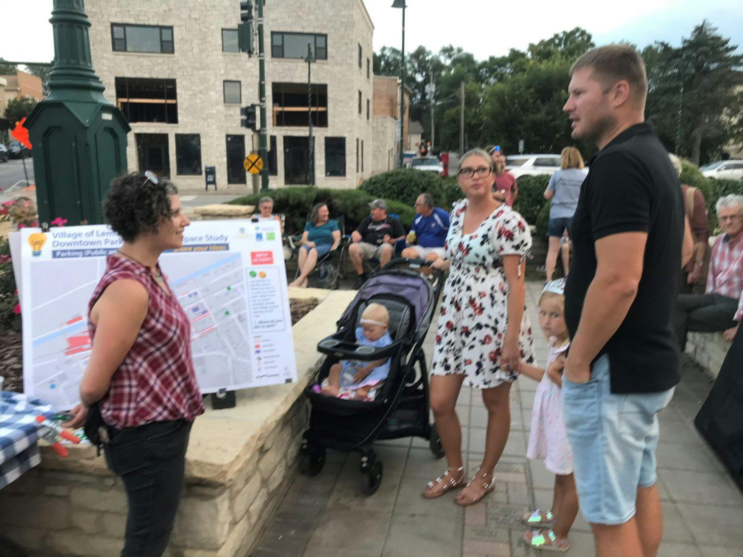
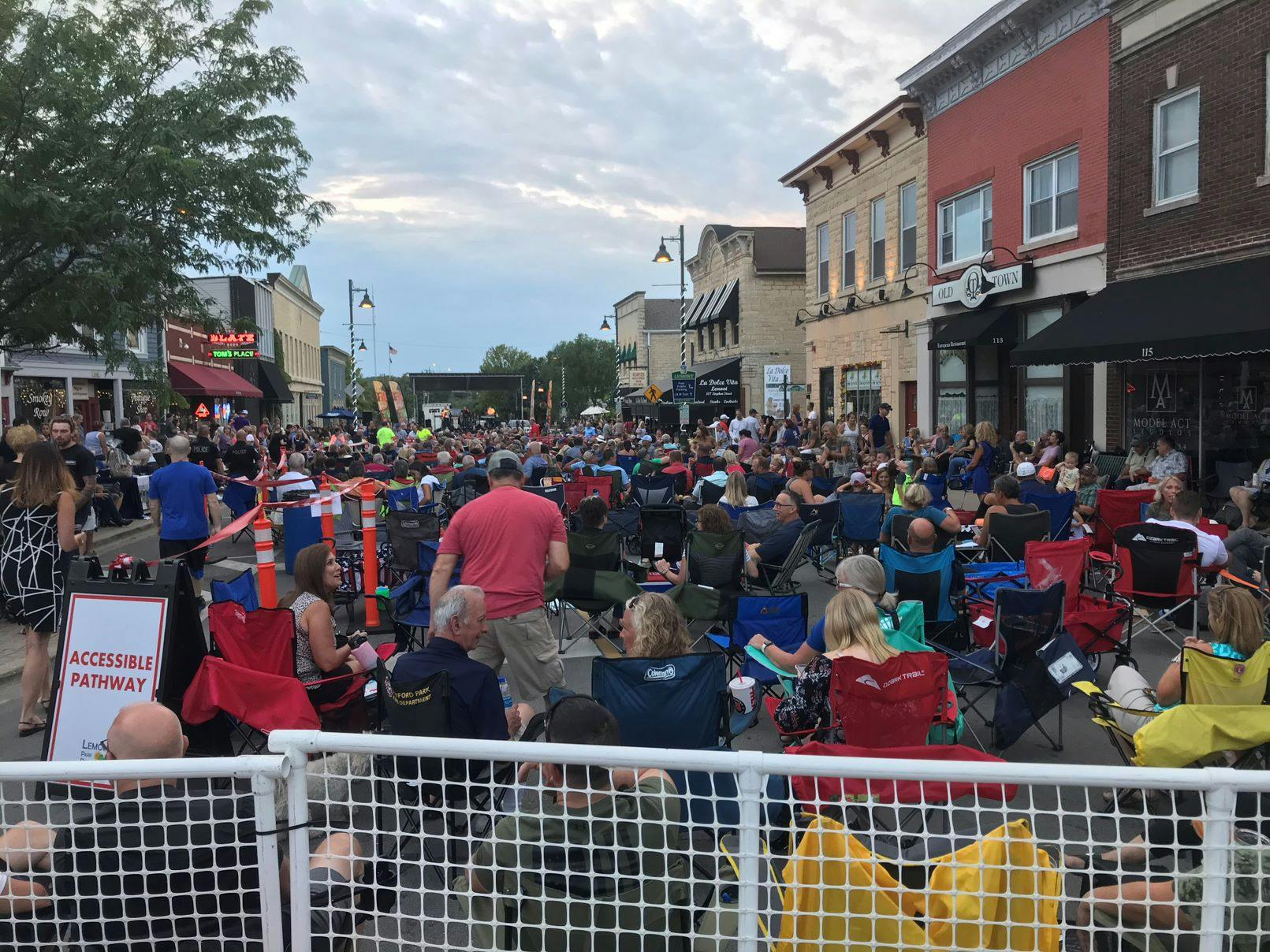
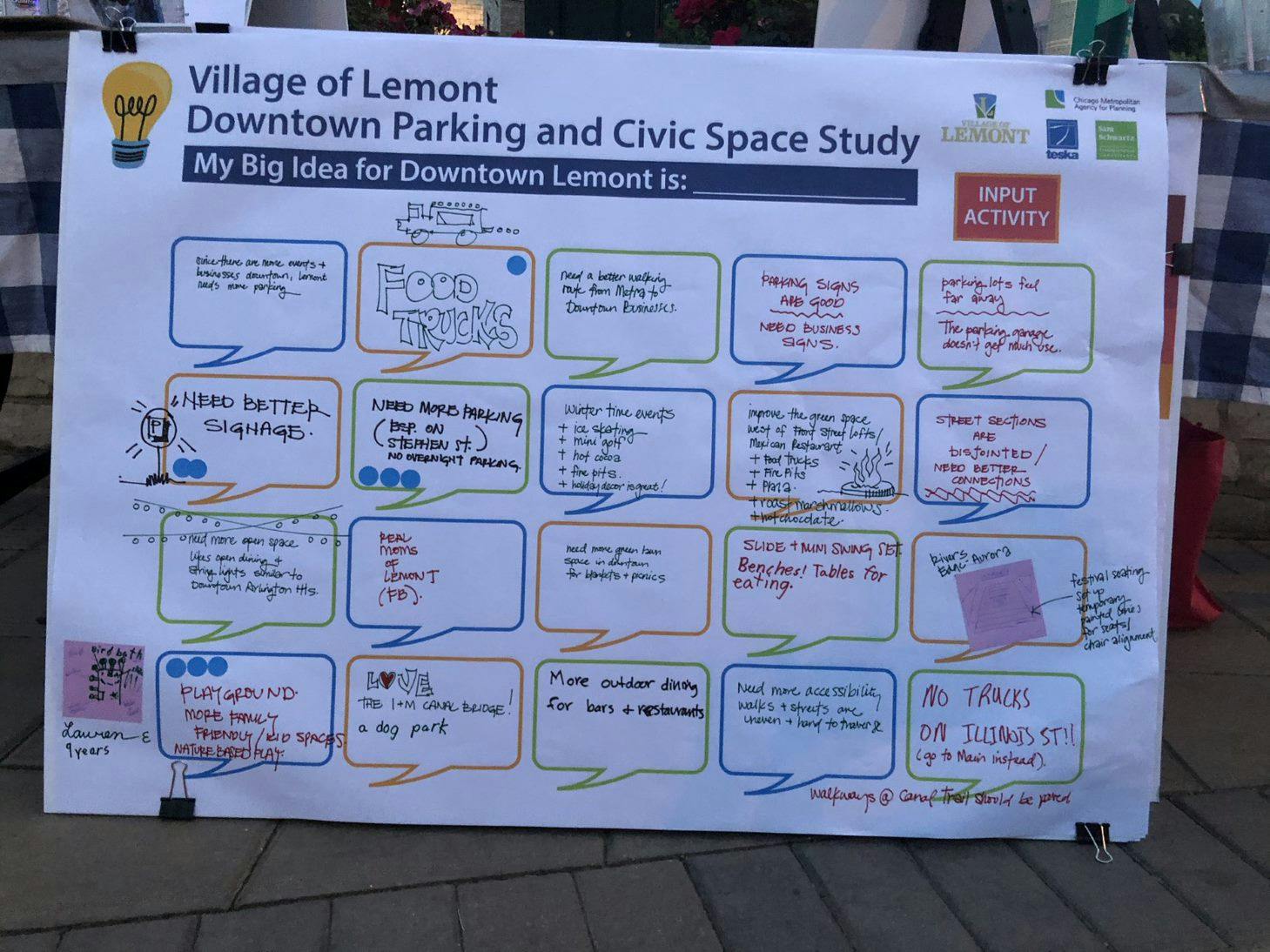
Thanks for Sharing your Groovy Ideas at the 8/5 Sunset Soiree Idea Pop-Up
Who's Listening
-
Community Lead

-
Project Lead + Transportation Planning

-
Engagement + Urban Design Lead

-

Phone 312-386-8746 Email jburros@cmap.illinois.gov