Welcome to the project website for the Lemont Downtown Parking and Civic Space Study!
The planning process has concluded and now we are moving on to implementation. A copy of the final study can be found at this link.
Project Background
The Village of Lemont is working with the Chicago Metropolitan Agency for Planning (CMAP) to develop a study that will evaluate the utilization of civic spaces, parking locations, and designations within Downtown Lemont. Established in 1836 and recognized as one of the oldest communities in northeastern Illinois, Downtown Lemont is characterized by limestone clad buildings and wasContinue reading

Welcome to the project website for the Lemont Downtown Parking and Civic Space Study!
The planning process has concluded and now we are moving on to implementation. A copy of the final study can be found at this link.
Project Background
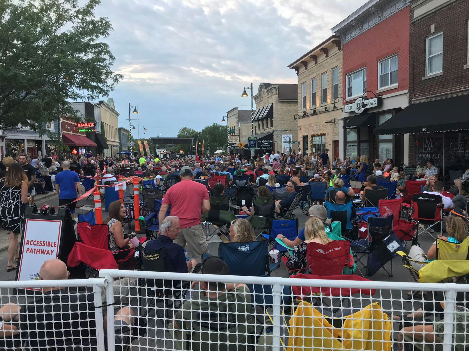
The Village of Lemont is working with the Chicago Metropolitan Agency for Planning (CMAP) to develop a study that will evaluate the utilization of civic spaces, parking locations, and designations within Downtown Lemont. Established in 1836 and recognized as one of the oldest communities in northeastern Illinois, Downtown Lemont is characterized by limestone clad buildings and was listed on the National Register of Historic Places in 2016. Today, Lemont continues to thrive as a mixed-use downtown, including homes, shops, restaurants, businesses, Metra station, and civic spaces. As Lemont continues to experience growth, the Downtown Study is an opportunity to evaluate existing land uses, parking supply and management, and opportunities for public placemaking.

Focus areas for this study include:
 | Parking
Analyze the supply and demand for parking in Downtown Lemont and identify recommendations related to improved parking management and connectivity between land uses and transit.
|
 | Streetscape and Placemaking
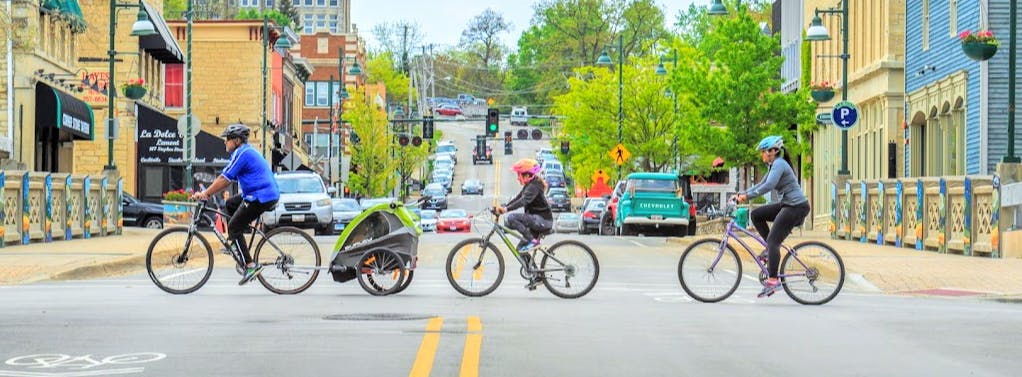
Identify near and long-term strategies to advance safety and pedestrian friendliness through streetscape and placemaking. |
 | Connections to Transit
Explore strategies to improve connectivity between the Metra station and Downtown area. |
Study Area
The project study area is generally bounded by River Street to the north, Lockport Street to the west, Cass Street to the south, and Holmes Street to the east. Click the map below to start sharing input on opportunities, issues, and ideas as they relate to the focus areas identified above.
Get Involved
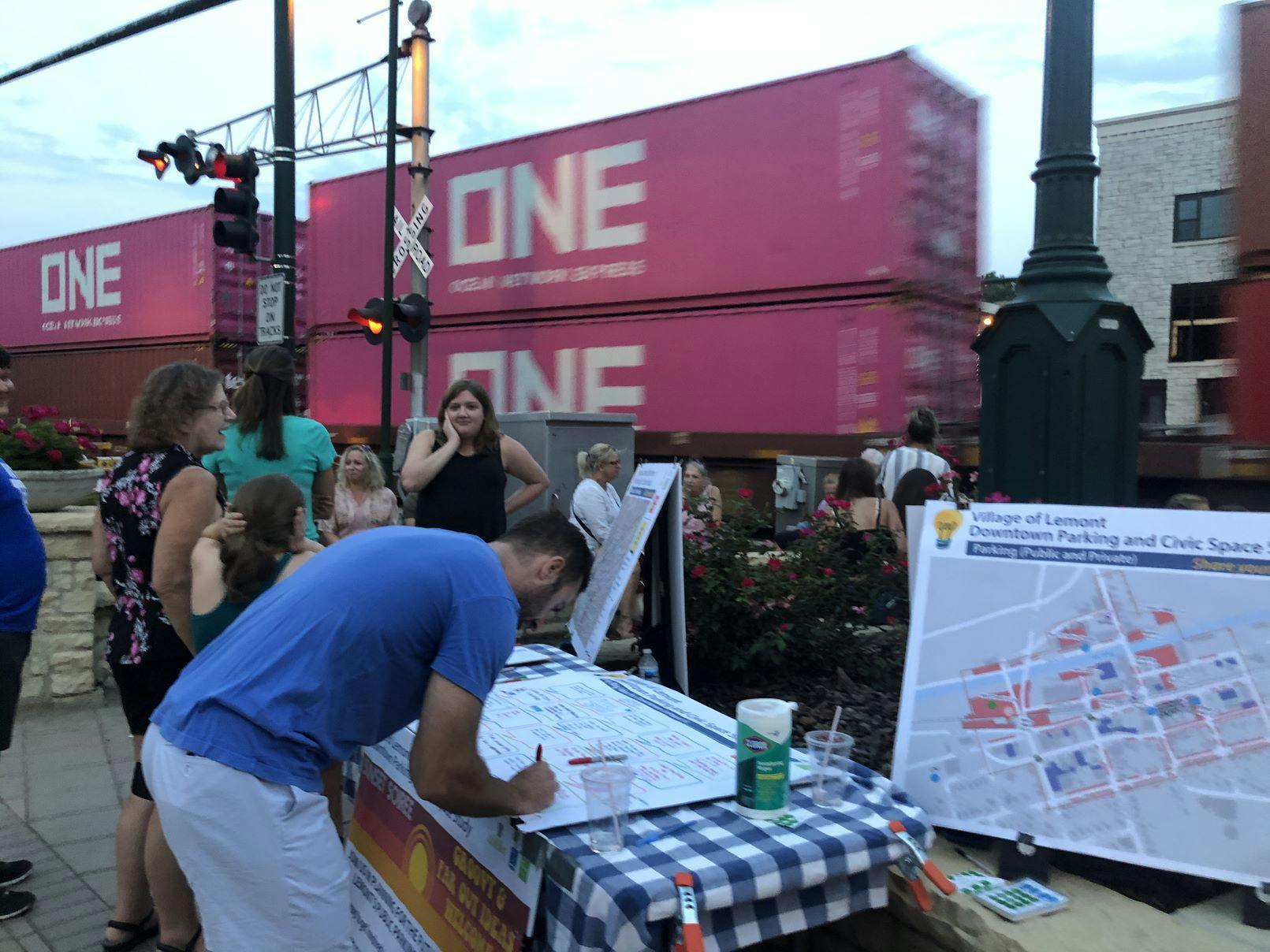
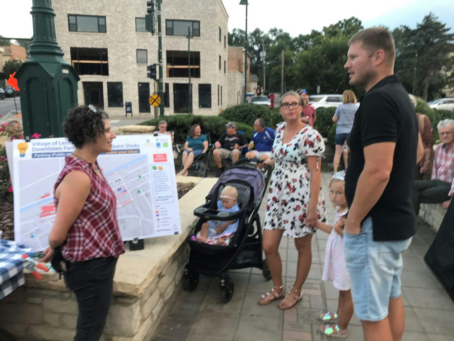
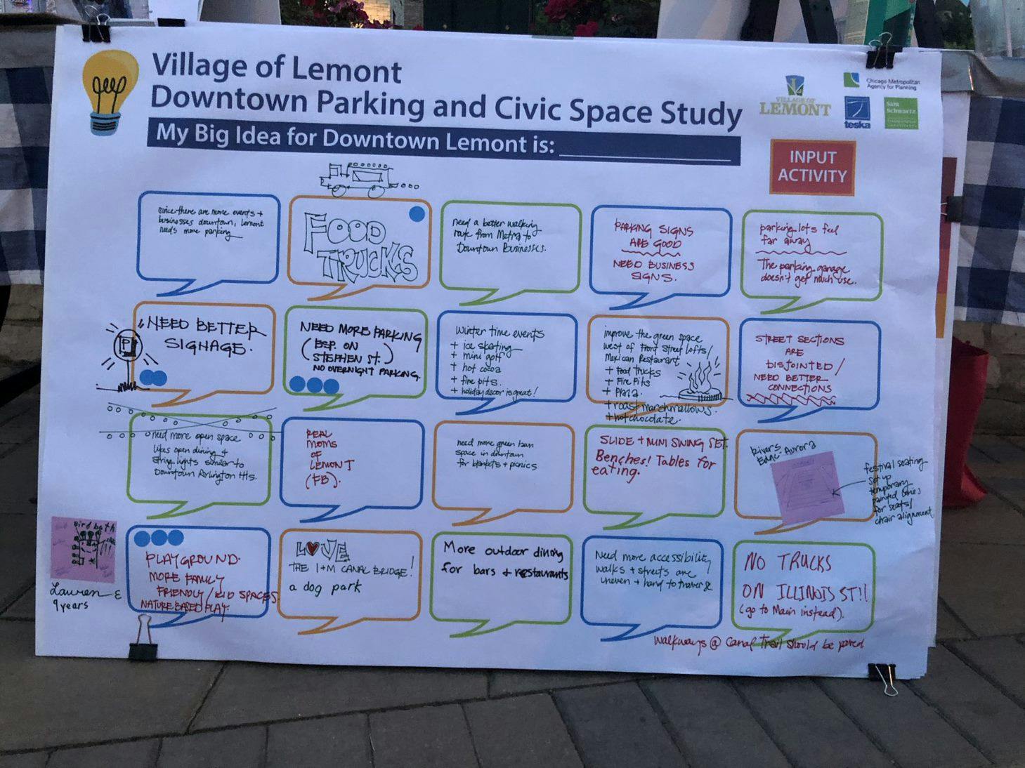
To ensure that the plan’s recommendations reflect community’s priorities, local engagement is an essential part of the planning process. Explore the Tool Tabs and links below to get started:
- Share Ideas and upload inspirational photos of potential improvements you'd like to see
- Use the interactive Comment Map to tell us about places we should focus on
- Subscribe to receive project updates
- Take the Visioning Survey!
Get Started! Explore the Tool Tabs Below...
(The blue color identifies which tab is active)


