FAQs
1. What is the focus of this study?
The study for Downtown Lemont will identify recommendations related to streetscape and placemaking, improved parking management, and connectivity between downtown land uses and transit. As for parking, the focus will be on publicly controlled parking areas, including on-street parking and municipal parking lots. Privately controlled parking will be reviewed for context.
2. What is streetscape and placemaking?
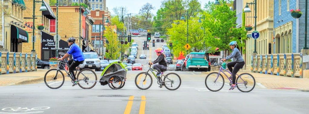
Streetscape refers to the visual and spatial organization of a street, including the roadway, sidewalks, trees, furnishings, adjacent buildings, and open spaces between that, when viewed as a whole, express the street’s character and identity.
Placemaking refers to a community-based approach to the planning, design, and programming of public spaces. As such, public engagement is at the forefront of developing public space and the process is focused on strengthening connections between people and public spaces.
3. Why is this project necessary?
The primary objective of this project is to improve civic spaces and parking within Downtown Lemont. The project will take close look at parking efficiency, pedestrian safety, connectivity and supporting a sense of place within Downtown Lemont.
4. What geographic area does the plan cover?
The study area is generally bounded by River Street to the north, Lockport Street to the west, Cass Street to the south, and Holmes Street to the east. Visit the comment map to view the project area and start sharing input.
5. Who is developing the Lemont Downtown Study?
The Downtown Study is being developed by the Village of Lemont in partnership with the Chicago Metropolitan Agency for Planning (CMAP). The plan’s development will also be guided by the project’s Steering Committee, which will be formed in Summer 2021 and comprised of residents and local stakeholders.
6. Who is CMAP?
The Chicago Metropolitan Agency for Planning (CMAP) is the regional planning agency for northeastern Illinois. CMAP serves seven counties, 284 municipalities, and over 1,200 units of government – the third largest metropolitan region in the United States. The agency was established in 2005 with the mission to plan comprehensively for economic prosperity and quality of life. Most recently, CMAP and its partners developed and are now implementing ON TO 2050, a new long-range plan to help the region implement strategies that address transportation, housing, economic development, open space, the environment, and other quality-of-life issues. To learn more about CMAP, visit www.cmap.illinois.gov
7. How will my comments on this page be used?
The planning team will collect all comments, review them, and incorporate your thoughts and ideas into the plan. Community comments are encouraged and important to the planning process. All comments provided are voluntary and will be publicly visible.
8. How can I get involved and receive project updates?
Community input is welcome throughout the planning process. Feedback can be provided on the website, during public meetings, activities, and events. Please subscribe to the website via the “subscribe” button which is in the footer for mobile users and sidebar for desktop users. You can also visit the “Input Map” page to submit feedback 24/7.
9. Are special provisions in place due to COVID-19?
As Illinois enters Phase 5, we recognize that folks may have varying levels of comfort relative to participating in public meetings and activities. As such, LCDOT and the project team are taking careful steps to provide options and tools for communities to engage in the ways they feel most comfortable. The website will provide online feedback tools. Public events and activities will be available for virtual / remote participation. Face to face interactions will maintain social distancing.

