Berwyn-Riverside Railroad Grade Crossing Study

Project overview
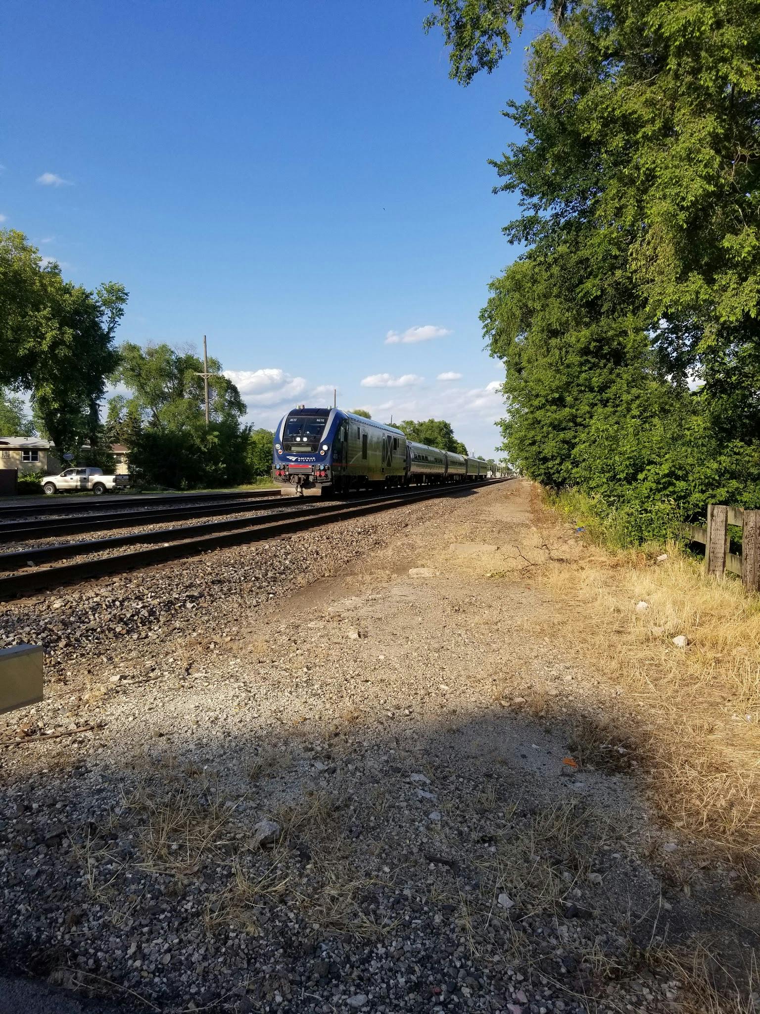
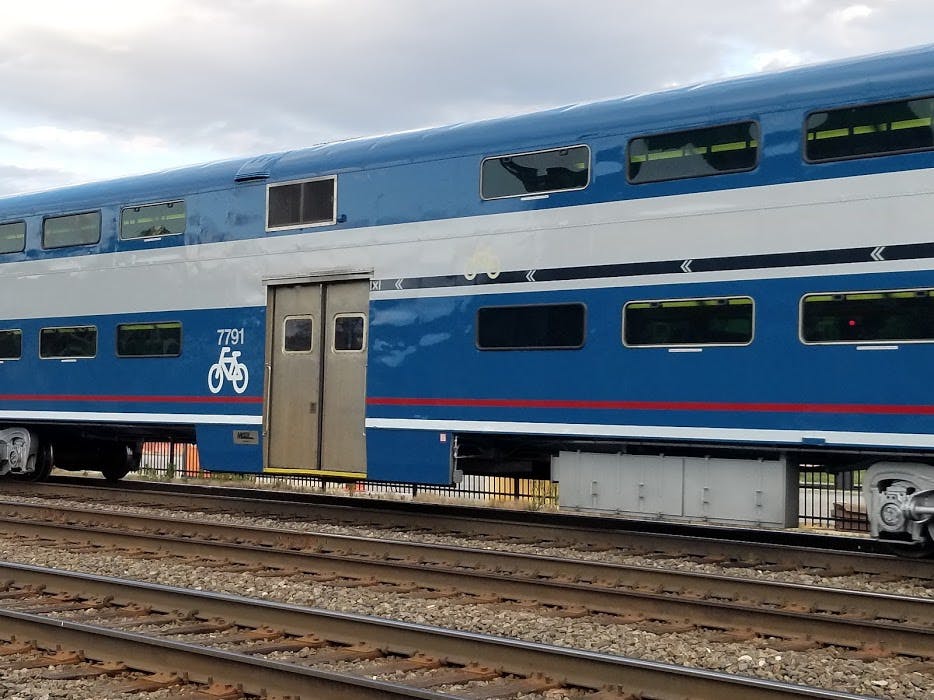
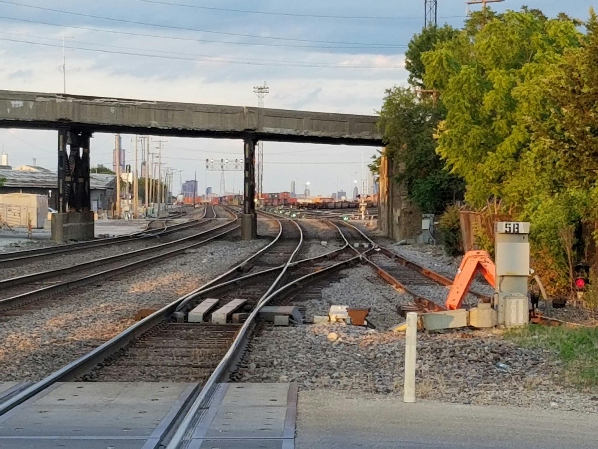
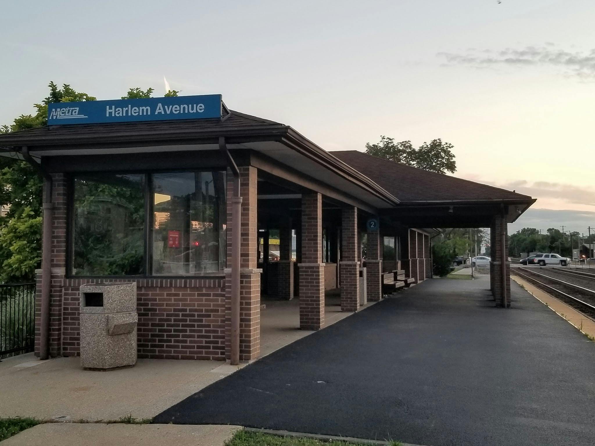
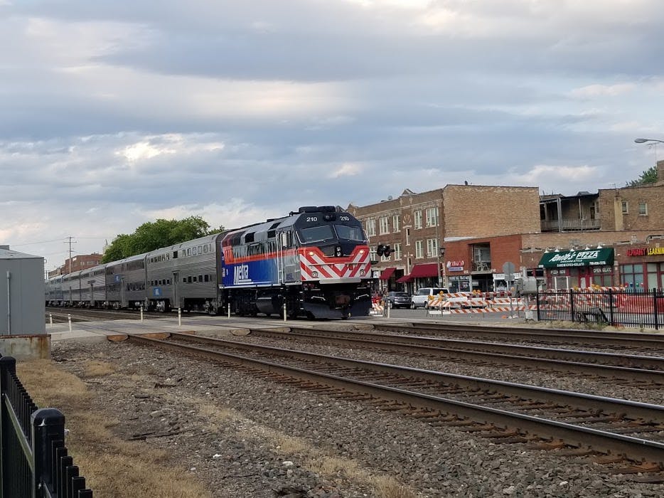
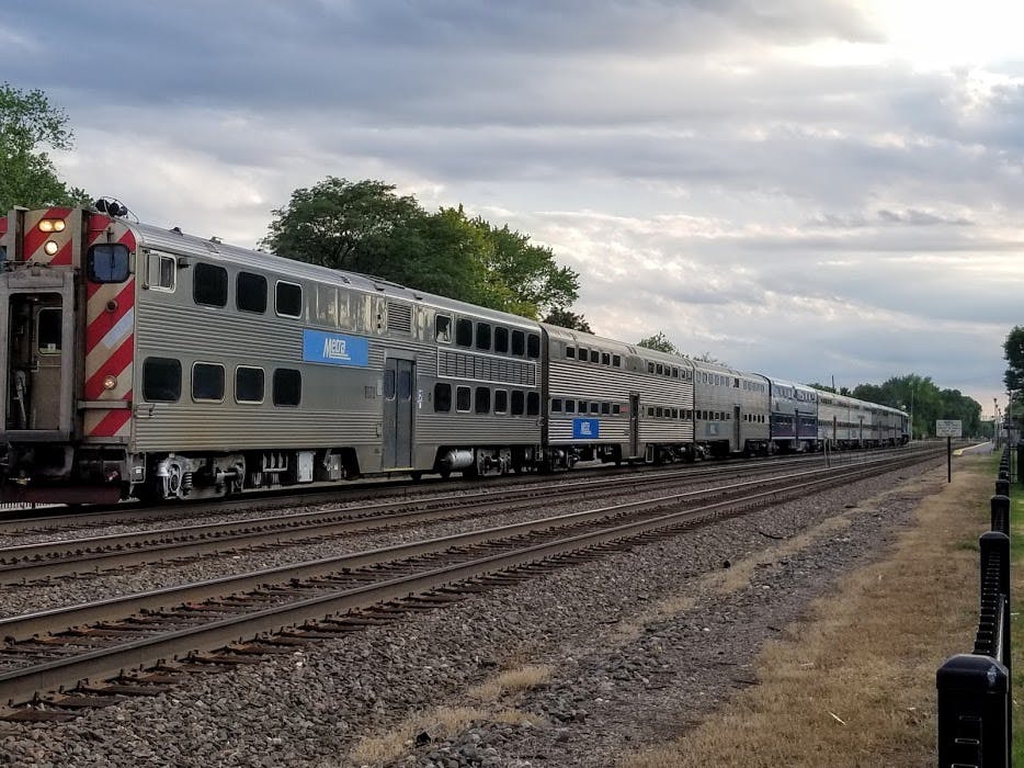
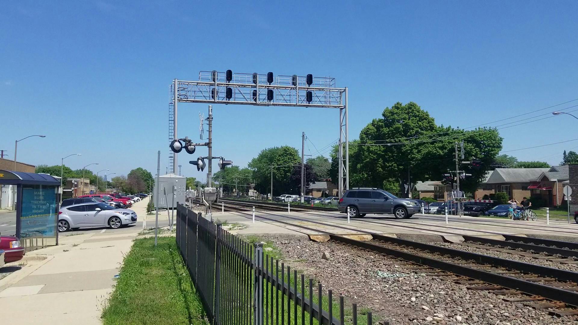
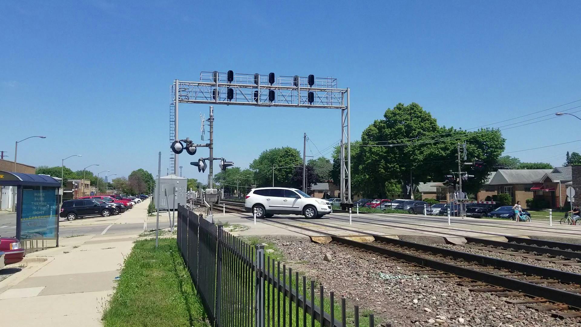
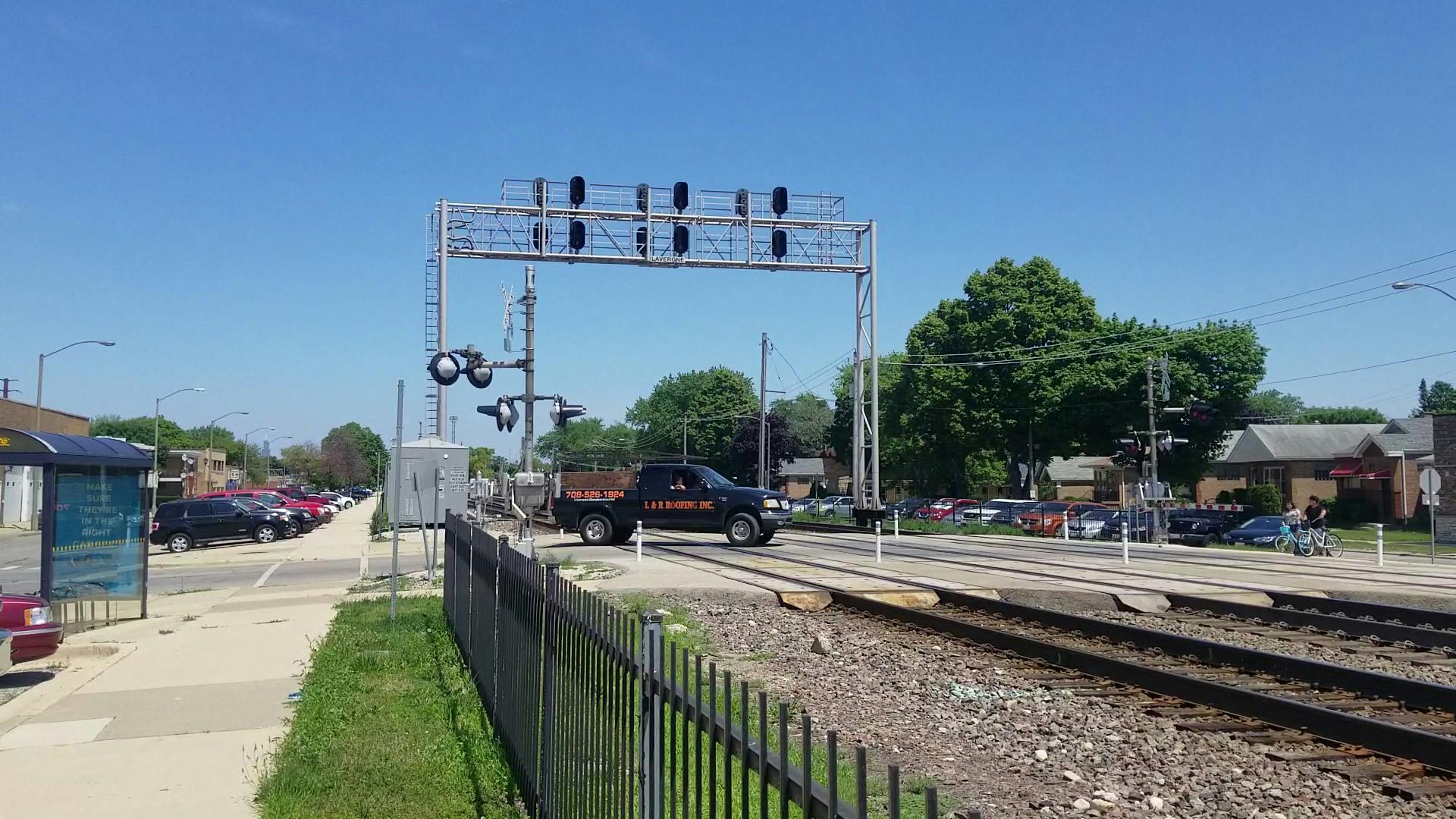
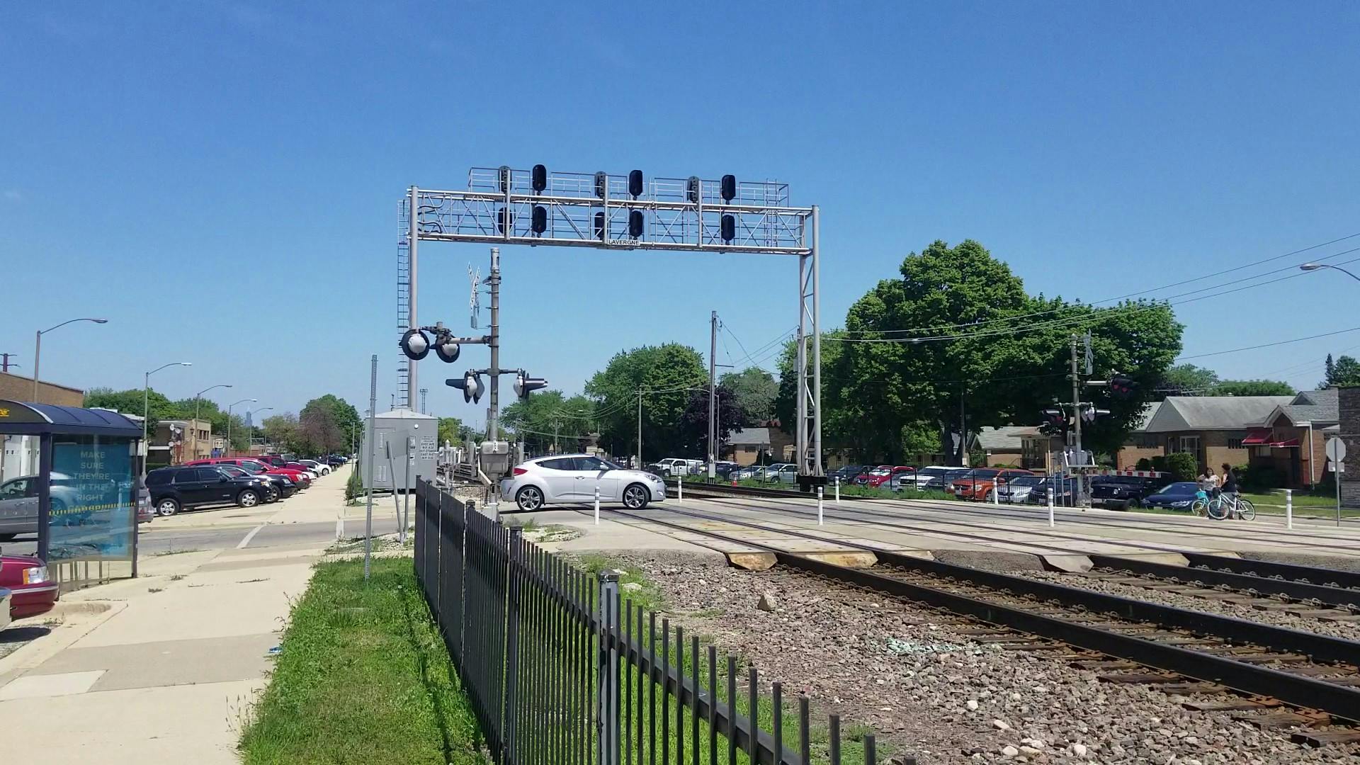
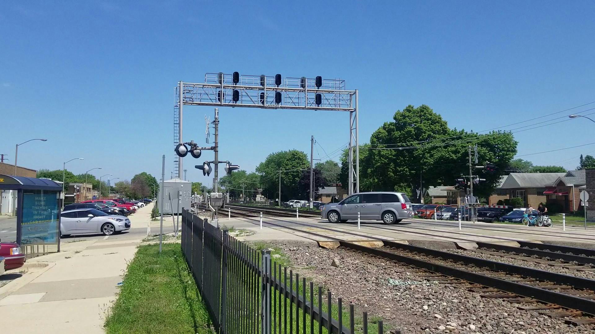
CMAP is working together with the City of Berwyn, the Village of Riverside, the BNSF Railway, and other stakeholders to study crossings of the BNSF Railway from Ridgeland Avenue in Berwyn to Delaplaine Road in Riverside, including Harlem Avenue (Illinois Route 43).
In Part I of the study, the study team used technical information and public engagement to determine that there is a need for an improvement. The resulting documents are shown in the "Documents" section of this page. Part I of the study concluded in 2023.
In Part II of the study, the study team will identifyContinue reading
Project overview
CMAP is working together with the City of Berwyn, the Village of Riverside, the BNSF Railway, and other stakeholders to study crossings of the BNSF Railway from Ridgeland Avenue in Berwyn to Delaplaine Road in Riverside, including Harlem Avenue (Illinois Route 43).
In Part I of the study, the study team used technical information and public engagement to determine that there is a need for an improvement. The resulting documents are shown in the "Documents" section of this page. Part I of the study concluded in 2023.
In Part II of the study, the study team will identify a range of alternative solutions to address that need. We will screen those potential solutions to identify alternatives to carry forward in a potential future engineering process. Examples of screening criteria might be whether the alternative meaningfully addresses the identified purpose and need, constructability, social and environmental impacts, impacts on traffic and transit, and impacts on private property. For the alternatives we might carry forward to engineering, we also expect to develop early, planning-level cost estimates, which can help Cook County Department of Transportation and Highways (CCDOTH), Berwyn, and Riverside decide whether a project should move forward. Part II of the project will conclude in November, 2026.
CMAP will be using the Planning and Environmental Linkages (PEL) process, including federal coordination. CCDOTH and CMAP are providing the funding necessary to support this planning initiative.
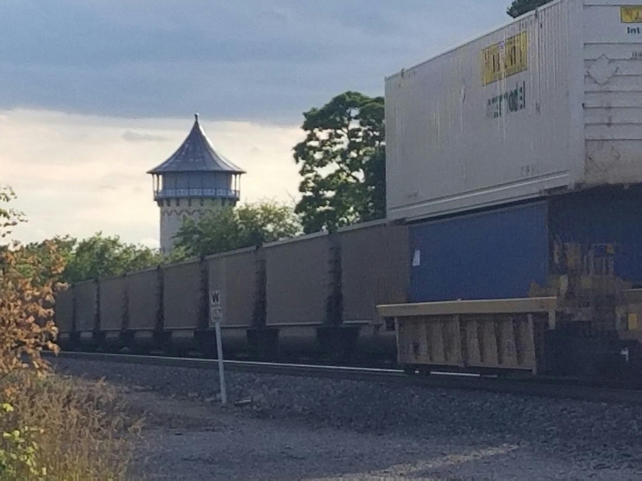
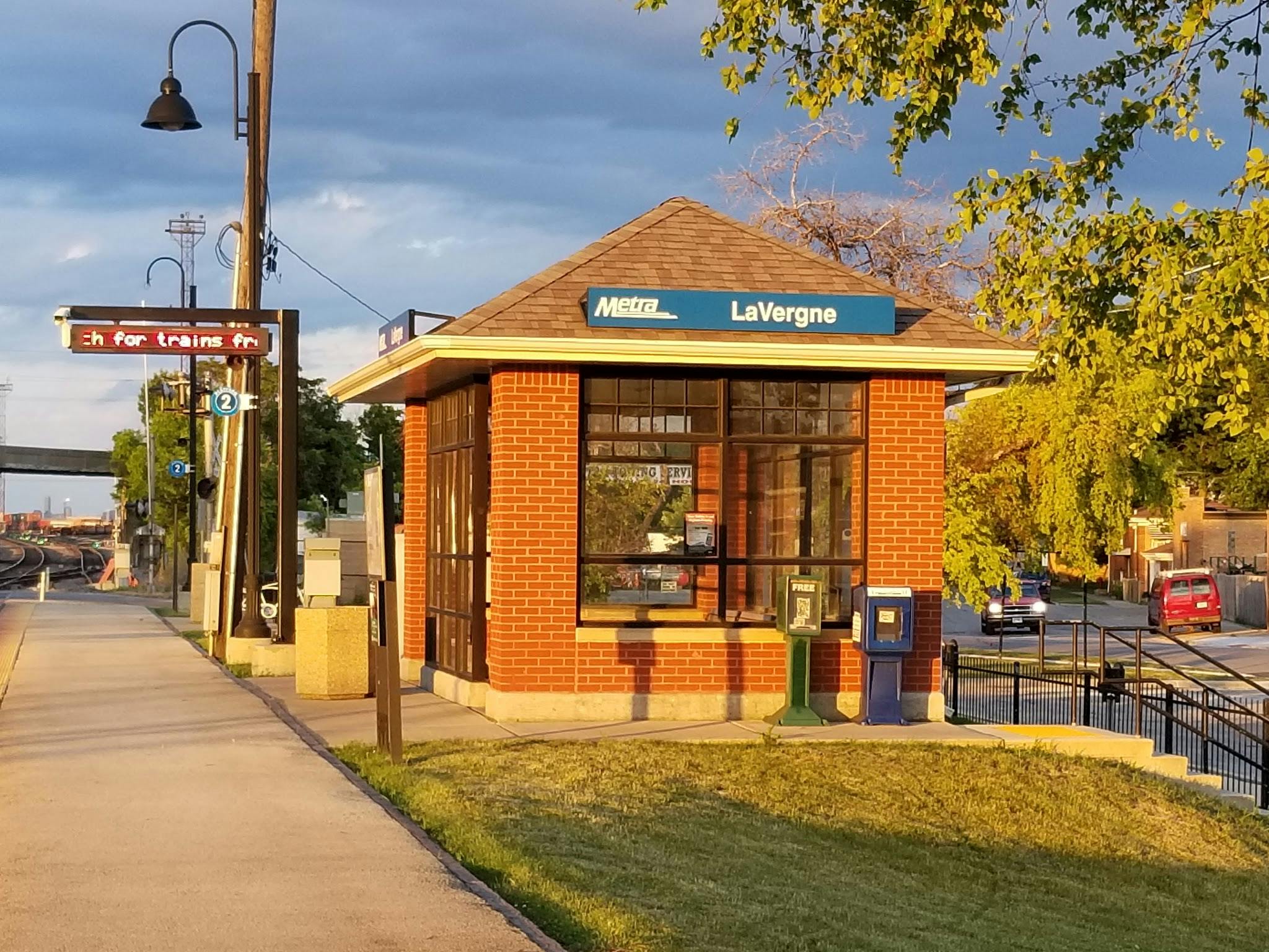
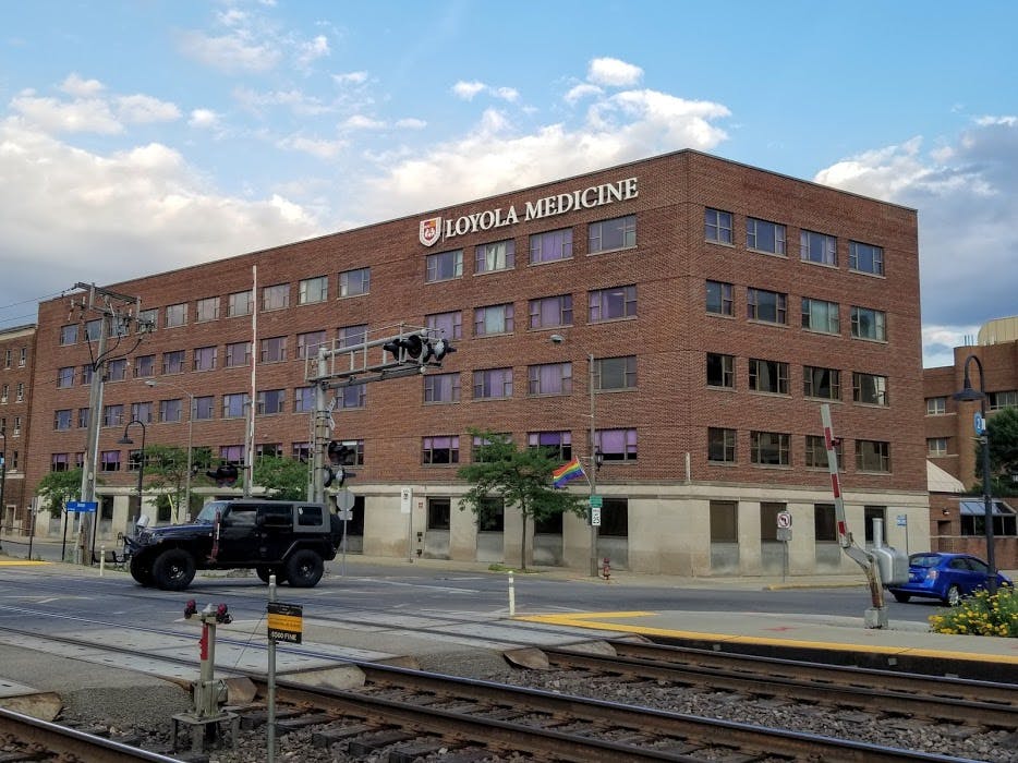
The study will consider such issues as travel-time reliability, emergency vehicle access, access to MacNeal Hospital, access to transit stations, access to nearby businesses, economic development, historic preservation, and pedestrian and motorist safety.
Descripción de proyecto
La Agencia Metropolitana de Planificación de Chicago (CMAP, por sus siglas en inglés) está trabajando con la Ciudad de Berwin, el Poblado de Riverside, el Ferrocarril BNSF y otras partes interesadas para estudiar los cruces del Ferrocarril BNSF desde la Avenida Ridgeland en Berwyn a la Carretera Delaplaine en Riverside, incluyendo la Avenido Harlem Avenue (Ruta 43 de Illinois). El estudio identificará un propósito y una necesidad, una gama de alternativas y alternativas para llevar a cabo futuros estudios.
En la Part I del estudio, el equipo utilizó información técnica y las aportaciones ciudadanas para determinar la necesidad de mejora. Los documentos resultantes se muestran en la sección "Documentos" de esta página. La Fase I del estudio concluyó en 2023.
En la Parte II de este estudio de planificación, el equipo identificará soluciones alternativas para abordar esta necesidad. Examinaremos estas posibles soluciones para seleccionar alternativas que puedan estudiarse con mayor detalle durante la ingeniería. Los criterios de selección podrían incluir si la solución aborda significativamente la necesidad identificada, la viabilidad de la construcción, los impactos sociales y ambientales, el impacto en el tráfico y el transporte público, los accidentes de tráfico y el impacto en viviendas y negocios. Para las soluciones que podamos presentar a la fase de ingeniería, también esperamos elaborar estimaciones de costos aproximadas, que puedan ayudar al Departamento de Transporte y Carreteras del Condado de Cook (CCDOTH), Berwyn y Riverside a decidir si un proyecto debe seguir adelante. El equipo finalizará la Fase II del estudio para noviembre de 2026.
El CMAP utilizará el proceso de Planificación y Vínculos Ambientales (PEL), incluyendo la coordinación federal. El CCDOTH y el CMAP están aportando los fondos necesarios para apoyar esta iniciativa de planificación.
El estudio considerará temas como la confiabilidad del tiempo de viaje, el acceso de vehículos de emergencia, el acceso al Hospital MacNeal, el acceso a las estaciones de transporte público, el acceso a negocios cercanos, desarrollo economicola, preservación histórica y la seguridad de peatones y automovilistas.
Encuentra los resultados de la encuesta de las partes interesadas en la sección Documetos de esta página.
-
CLOSED: This survey has concluded. Thanks to everyone who participated! We received 577 responses over approximately two months. We will now use the information to help inform our range of alternatives and to help inform the process to rank those alternatives.
In 2023, the project team completed Part I of the study. Using technical analysis and community feedback, the team identified the need for improvements. You can view the documents from this stage in the “Documents” section of the project website. Part I identified the purpose of the project: to improve vehicle travel time reliability, safety, and mobility for motorists, emergency vehicles, pedestrians, and cyclists across the BNSF corridor resulting from extended gate closures at highway-rail crossings in the study area.
Now, we’d like your help as we move forward. This survey asks for your input on two important questions:
- What kinds of improvements do you think could help — for example, changes to roads, bridges, crossings, or other ideas?
- When thinking about different options, what matters most to you — things like safety, cost, travel time, neighborhood impacts, or something else?
Please use sliders for each statement to see and select more options.
Your feedback will directly shape the next steps of this project, and we truly value your voice. Thank you for sharing your perspective!
En 2023, el equipo del proyecto completó la Parte I del estudio. Con el análisis técnico y las opiniones de la comunidad, se confirmó la necesidad de hacer mejoras. Puede ver los documentos de esta etapa en la sección “Documentos” del sitio web del proyecto. La Parte I identificó el propósito del proyecto: mejorar la confiabilidad del tiempo de viaje de los vehículos, la seguridad y la movilidad de los automovilistas, vehículos de emergencia, peatones y ciclistas a lo largo del corredor BNSF, como resultado de los cierres prolongados de las barreras en los cruces de ferrocarril en el área de estudio.
Ahora necesitamos su ayuda para avanzar. Esta encuesta le pide su opinión sobre dos preguntas clave:
¿Qué tipo de mejoras cree que podrían ayudar — por ejemplo, cambios en calles, puentes, cruces u otras ideas?
Al pensar en diferentes opciones, ¿qué es lo más importante para usted — la seguridad, el costo, el tiempo de viaje, los efectos en el vecindario u otra cosa?
Por favor, use los controles deslizantes para cada enunciado para ver y seleccionar más opciones.
Sus respuestas influirán directamente en los próximos pasos de este proyecto, y valoramos mucho su participación. ¡Gracias por compartir su opinión!
Share Survey: Finding and Screening Solutions on Facebook Share Survey: Finding and Screening Solutions on Twitter Share Survey: Finding and Screening Solutions on Linkedin Email Survey: Finding and Screening Solutions link -
CLOSED: This survey has concluded.Share Community Survey on Facebook Share Community Survey on Twitter Share Community Survey on Linkedin Email Community Survey link
-
CERRADO: Esta encuesta ha concluido.Share Encuesta comunitaria on Facebook Share Encuesta comunitaria on Twitter Share Encuesta comunitaria on Linkedin Email Encuesta comunitaria link
Signup Banner
Lifecycle
-
Data collection and existing/future conditions / Recolección de datos y lo que aprendimos sobre la situación actual y futura (terminado)
Berwyn-Riverside Railroad Grade Crossing Study has finished this stageThe consultants prepared a "Transportation System Performance Report" and identified criteria for any roadway or railway improvements. A community survey was undertaken and stakeholders were notified about the project.
Los consultores prepararon un “Informe sobre el Desempeño del Sistema de Transporte” e identificaron criterios para posibles mejoras en calles o vías del tren. Se realizó una encuesta comunitaria y se notificó a las partes interesadas sobre el proyecto.
-
Draft purpose and need / Propósito y necesidad – borrador (terminado)
Berwyn-Riverside Railroad Grade Crossing Study has finished this stageBased on stakeholder input and available data, the study team identified a Purpose and Need for an improvement.
Con base en la participación de la comunidad y en los datos disponibles, el equipo del estudio identificó el “Propósito y la Necesidad” de una mejora.
-
Improvement alternatives and evaluation / Alternativas de mejora y evaluación (en curso)
Berwyn-Riverside Railroad Grade Crossing Study is currently at this stageBased on the Purpose and Need, a range of alternatives are identified for improvements. For this project, such improvements may include grade separations for vehicles, separations for walkers and cyclists, or other improvements, depending on the purpose and need identified earlier.
Para este proyecto, las alternativas pueden incluir túneles o puentes elevados para automovilistas, peatones y/o ciclistas. También se identificarán y evaluarán otras mejoras que respondan al propósito y la necesidad del proyecto.
-
PEL recommendations and documentation / Recomendaciones y documentación del PEL (próximamente)
this is an upcoming stage for Berwyn-Riverside Railroad Grade Crossing StudyA Planning and Environmental Linkages (PEL) report is prepared for approval.
Se preparará un informe Integración de la Planificación con los Requisitos Ambientales (PEL) que se presentará para su aprobación.
-
Next steps / Próximos pasos (próximamente)
this is an upcoming stage for Berwyn-Riverside Railroad Grade Crossing Study
Documents
-
 Stakeholder Involvement Plan, Revised December 2023 (10.2 MB) (pdf)
-
 Draft Purpose and Need Statement, Berwyn-Riverside PEL Study, May 2023 (1.9 MB) (pdf)
-
 Transportation System Performance Report, June 2022 (10.5 MB) (pdf)
-
 Berwyn-Riverside_StakeholderSurvey_ExecSummary_v5.pdf (776 KB) (pdf)
-
 Public Meeting 6/7/2023
Key Dates / Hitos
-
July 2025 → November 2026
-
March 01 → November 30 2026
-
January 2025 → March 2026
-
July → October 2025
-
January → October 2025
-
October 2024 → January 2025
-
September 11 2024
-
August 2023 → September 2024
-
July 20 2023
-
July 10 2023
-
July 2022 → July 2023
-
June 07 2023
-
June 2022
Who's Listening
Photos
Frequently Asked Questions
-
 Frequently Asked Questions (in English)
- Why are the railroad crossings in this area being studied?
- What is a PEL study?
- What happens after a PEL study?
- These sorts of projects usually involve meetings. What's the alternative during the health emergency?
- What is an at-grade (or level) railroad crossing?
- What is a railroad grade separation?
- How much will the project cost?
- How will the project be paid for?
- How fast do trains go in Berwyn and Riverside?
- How much train traffic is there each day on the BNSF Railway in Berwyn and Riverside?
- How long do trains block the crossings?
- How much road traffic is there per day at the BNSF crossings in Berwyn and Riverside?
- If a big part of the problem is the length of time the crossing is blocked, can't we prohibit the railroads from blocking the crossings for so long?
- How will impacts to the community and natural resources be considered in the PEL study?
- This location has been studied before. Can't we just build something?
- Many of the roads crossing the BNSF tracks in Berwyn and Riverside are under IDOT jurisdiction, including Harlem Avenue, Oak Park Avenue, and Ridgeland Avenue. What's IDOT's role in the project?
- What does the crash record say about the crossings?
Preguntas frecuentes (leer en español)
-
 Preguntas frecuentes (leer en español)
- ¿Por qué se estudian los cruces ferroviarios en esta zona?
- ¿Qué es un estudio PEL?
- ¿Qué sucede después de un estudio PEL?
- Este tipo de proyectos generalmente requieren de reuniones. ¿Cuál es la alternativa durante esta emergencia de salud pública?
- ¿Qué es un paso ferroviario a nivel?
- ¿Qué es la separación de un paso ferroviario a nivel?
- ¿Cuánto costará el proyecto?
- ¿Cómo se pagará el proyecto?
- ¿Qué tan rápido pasan los trenes por Berwyn y Riverside?
- ¿Cuánto tráfico de trenes del ferrocarril BNSF hay en Berwyn y Riverside cada día?
- ¿Cuánto tiempo bloquean los cruces los trenes?
- ¿Cuánto tráfico de automóviles hay en los cruces del ferrocarril BNSF en Berwyn y Riverside cada día?
- Si gran parte del problema es el tiempo de bloqueo del cruce, ¿no podemos prohibir a los ferrocarriles que bloqueen los cruces durante tanto tiempo?
- ¿Cómo tomará en cuenta el estudio PEL el impacto que tendrá sobre la comunidad y los recursos naturales?
- Esta ubicación ya ha sido estudiada.¿No podemos simplemente construir algo?
- Muchas de las carreteras que cruzan las vías del ferrocarril BNSF en Berwyn y Riverside están bajo la jurisdicción del IDOT, incluyendo Harlem Avenue, Oak Park Avenue y Ridgeland Avenue. ¿Cuál es el rol del IDOT en el proyecto?
- ¿Qué dice el registro de accidentes sobre los cruces?


