
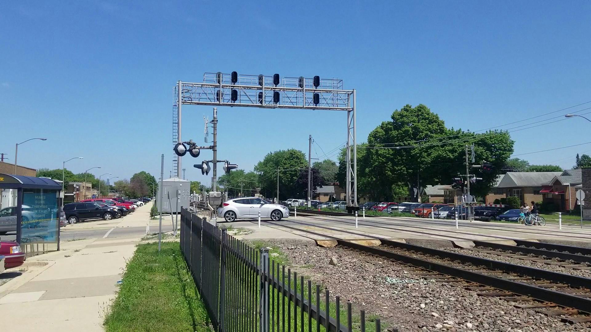
Berwyn-Riverside Railroad Grade Crossing Study
Share Berwyn-Riverside Railroad Grade Crossing Study on Facebook
Share Berwyn-Riverside Railroad Grade Crossing Study on Twitter
Share Berwyn-Riverside Railroad Grade Crossing Study on Linkedin
Email Berwyn-Riverside Railroad Grade Crossing Study link

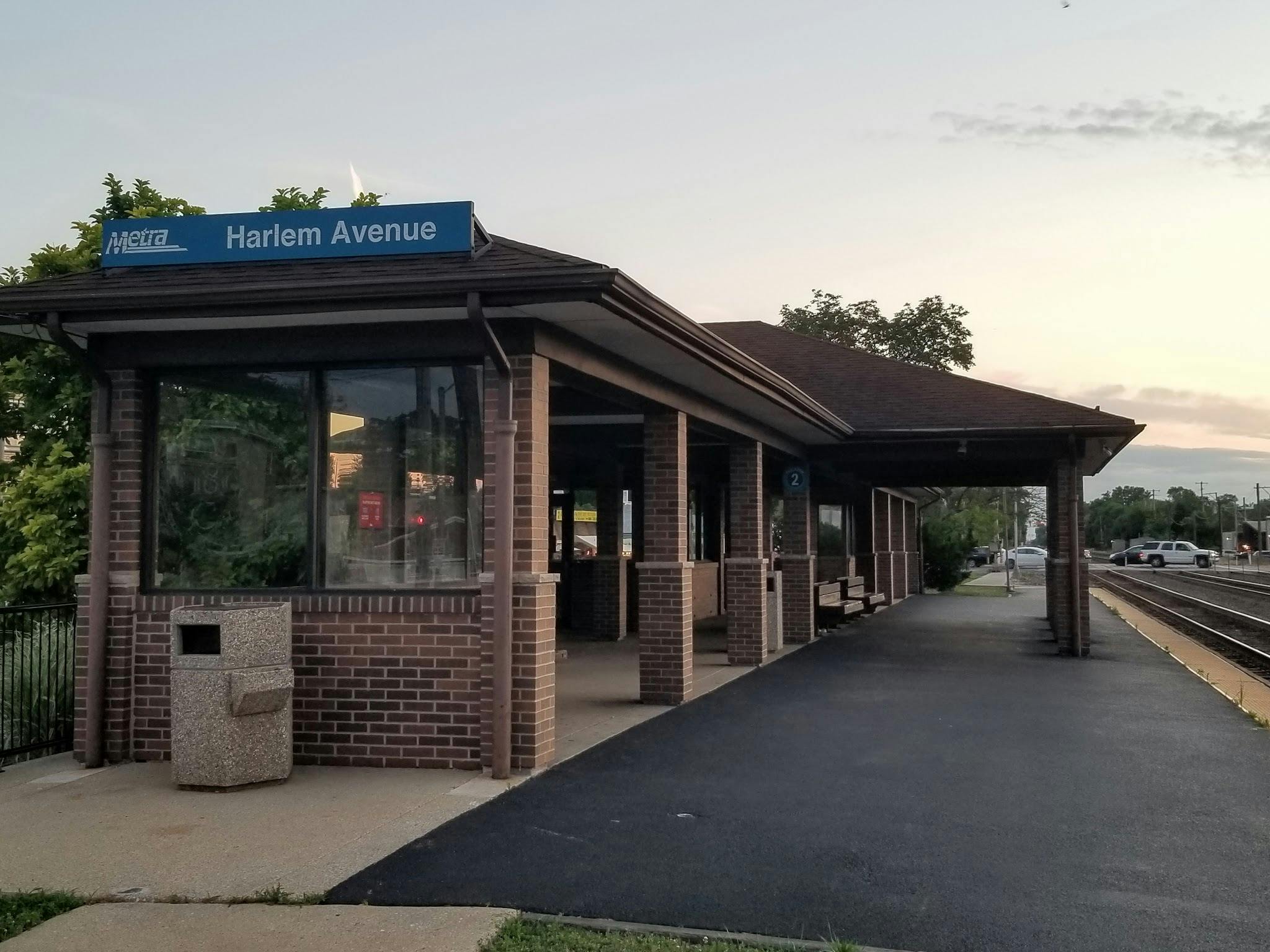
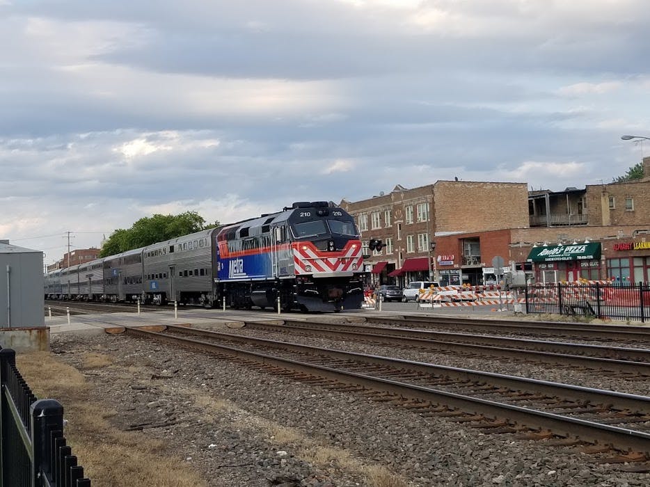
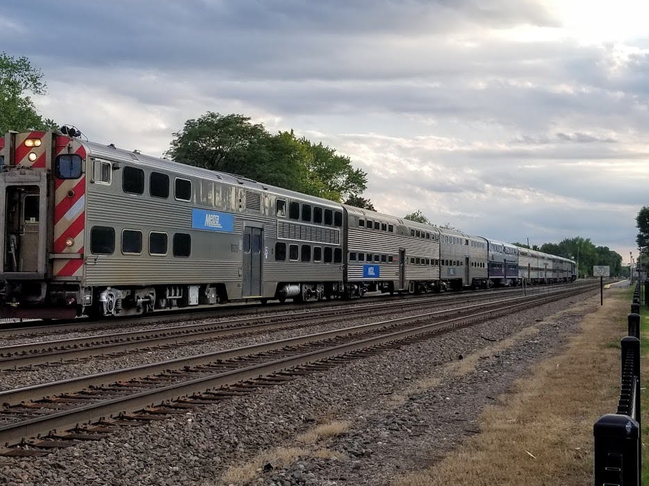
New: 2025 Survey Results! CMAP has released a report on the 2025 Community Survey: Finding and Screening Solutions for the Berwyn-Riverside Railroad Grade Crossing Study. 577 respondents completed the survey, mostly residents of the Berwyn and Riverside communities. A supermajority of 60 percent or more of respondents who were residents of Riverside thought that reducing motorist and truck delay at Harlem Avenue, for example with a bridge or underpass, is either extremely important or very important. Supermajorities of respondents who were Berwyn residents thought that reducing motorist and trucks delay on Harlem Avenue, Grove/Oak Park Avenue, and Ridgeland AvenueContinue reading

Page last updated: 28 Apr 2026, 09:44 AM
Documents
-
 2025 Berwyn-Riverside Community Survey - Finding and Screening Solutions (2.25 MB) (pdf)
-
Stakeholder Involvement Plan, Revised December 2023 (10.2 MB) (pdf)
-
Draft Purpose and Need Statement, Berwyn-Riverside PEL Study, May 2023 (1.9 MB) (pdf)
-
Transportation System Performance Report, June 2022 (10.5 MB) (pdf)
-
Berwyn-Riverside_StakeholderSurvey_ExecSummary_v5.pdf (776 KB) (pdf)
-
 Public Meeting 6/7/2023


Who's Listening

Photos


Frequently Asked Questions
-
Frequently Asked Questions (in English)
- Why are the railroad crossings in this area being studied?
- What is a PEL study?
- What happens after a PEL study?
- These sorts of projects usually involve meetings. What's the alternative during the health emergency?
- What is an at-grade (or level) railroad crossing?
- What is a railroad grade separation?
- How much will the project cost?
- How will the project be paid for?
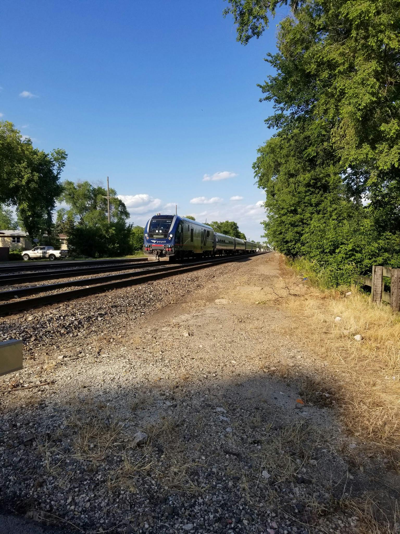
- How fast do trains go in Berwyn and Riverside?
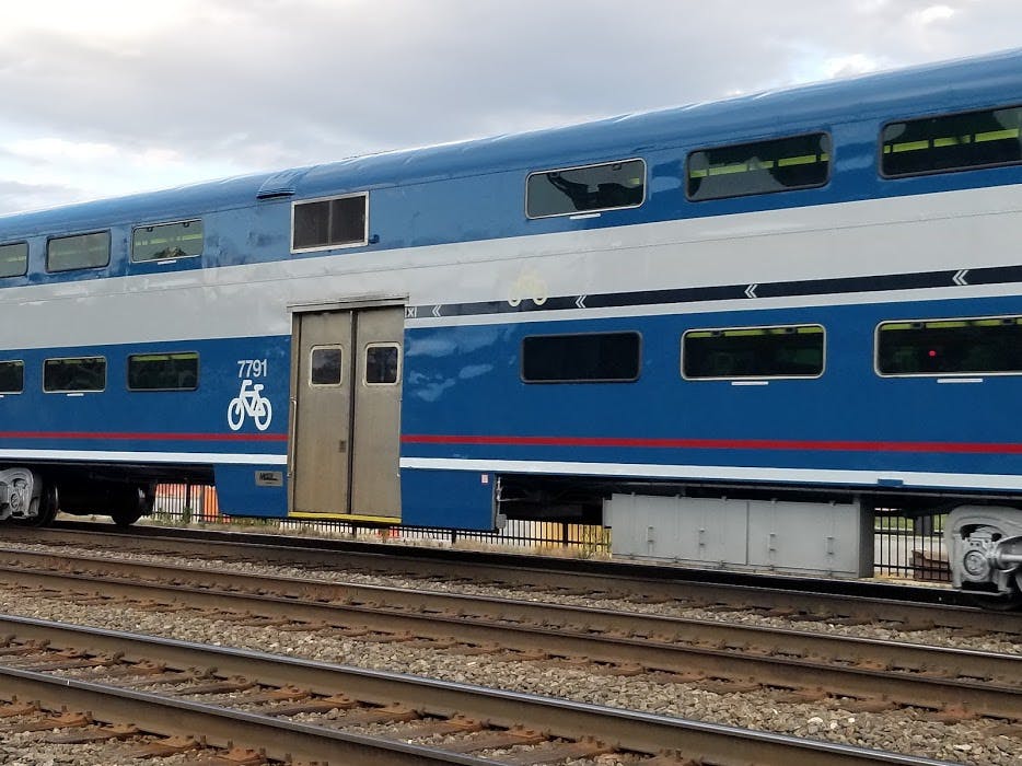
- How much train traffic is there each day on the BNSF Railway in Berwyn and Riverside?
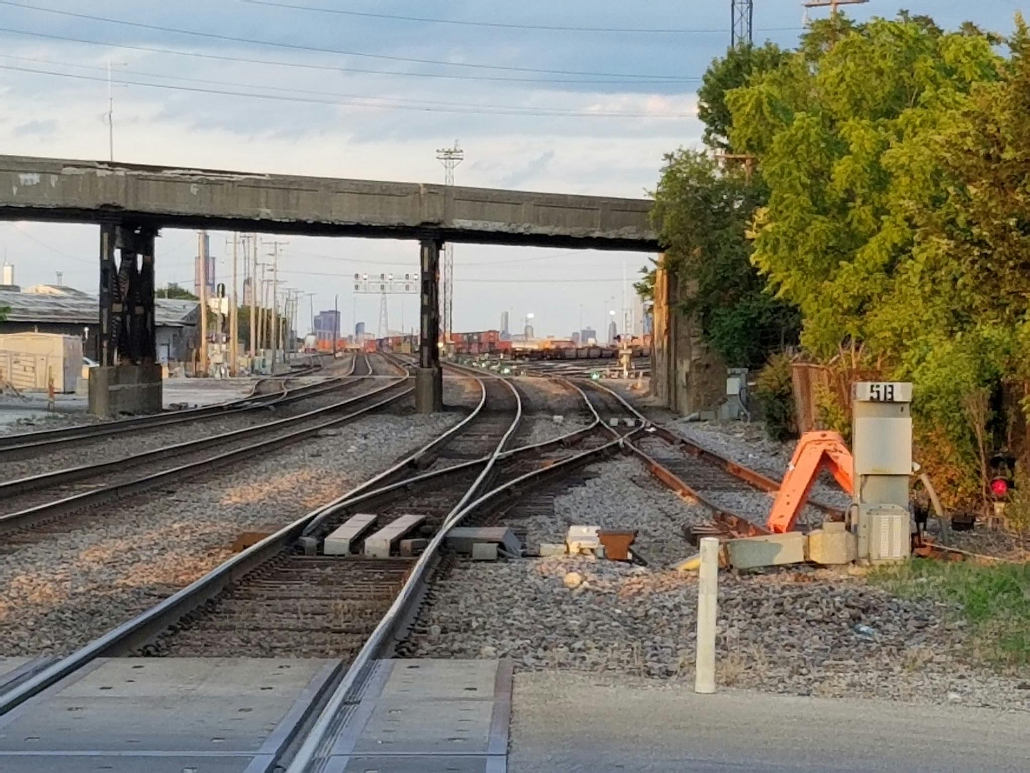
- How long do trains block the crossings?
- How much road traffic is there per day at the BNSF crossings in Berwyn and Riverside?
- If a big part of the problem is the length of time the crossing is blocked, can't we prohibit the railroads from blocking the crossings for so long?
- How will impacts to the community and natural resources be considered in the PEL study?
- This location has been studied before. Can't we just build something?
- Many of the roads crossing the BNSF tracks in Berwyn and Riverside are under IDOT jurisdiction, including Harlem Avenue, Oak Park Avenue, and Ridgeland Avenue. What's IDOT's role in the project?
- What does the crash record say about the crossings?
Preguntas frecuentes (leer en español)
-
Preguntas frecuentes (leer en español)
- ¿Por qué se estudian los cruces ferroviarios en esta zona?
- ¿Qué es un estudio PEL?
- ¿Qué sucede después de un estudio PEL?
- Este tipo de proyectos generalmente requieren de reuniones. ¿Cuál es la alternativa durante esta emergencia de salud pública?
- ¿Qué es un paso ferroviario a nivel?
- ¿Qué es la separación de un paso ferroviario a nivel?
- ¿Cuánto costará el proyecto?
- ¿Cómo se pagará el proyecto?
- ¿Qué tan rápido pasan los trenes por Berwyn y Riverside?
- ¿Cuánto tráfico de trenes del ferrocarril BNSF hay en Berwyn y Riverside cada día?
- ¿Cuánto tiempo bloquean los cruces los trenes?
- ¿Cuánto tráfico de automóviles hay en los cruces del ferrocarril BNSF en Berwyn y Riverside cada día?
- Si gran parte del problema es el tiempo de bloqueo del cruce, ¿no podemos prohibir a los ferrocarriles que bloqueen los cruces durante tanto tiempo?
- ¿Cómo tomará en cuenta el estudio PEL el impacto que tendrá sobre la comunidad y los recursos naturales?
- Esta ubicación ya ha sido estudiada.¿No podemos simplemente construir algo?
- Muchas de las carreteras que cruzan las vías del ferrocarril BNSF en Berwyn y Riverside están bajo la jurisdicción del IDOT, incluyendo Harlem Avenue, Oak Park Avenue y Ridgeland Avenue. ¿Cuál es el rol del IDOT en el proyecto?
- ¿Qué dice el registro de accidentes sobre los cruces?